Throop Mill
![]()
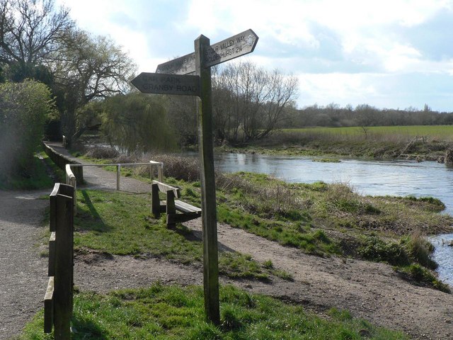
![]() This walk uses a section of the Stour Valley Way to create a circular walk around Throop Mill on the outskirts of Bournemouth.
This walk uses a section of the Stour Valley Way to create a circular walk around Throop Mill on the outskirts of Bournemouth.
You'll visit the interesting old mill before exploring the pretty Stour Valley Nature Reserve where there's lots of interesting flora and fauna to see.
Start the walk at the car park at Throop next to the river and mill. It's located on the Throop Road, less than half a mile behind Castlepoint, between Holdenhurst and Muslcliffe.
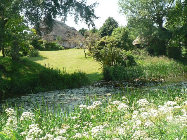
The mill is in a very picturesque and peaceful setting with a weir, watermill and the thatched Throop Mill cottage. From here you can pick up the waymarked footpath and follow it west through the Stour Valley Nature Reserve to Muslcliffe and Ensbury. Look out for wildlife such as otters and kingfishers as you make your way through the reserve.
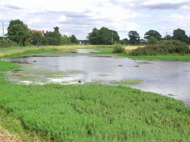
At Ensbury you cross the river to follow a countryside path back through Parley Green where there's a nice pond, golf course and attractive farmland to see. The last section heads through Merritown before turning south to return you to Throop.
To extend the walk continue east along the path to visit the lovely Christchurch Harbour.
Throop Mill Ordnance Survey Map  - view and print off detailed OS map
Throop Mill Open Street Map  - view and print off detailed map
Throop Mill OS Map  - Mobile GPS OS Map with Location tracking
Throop Mill Open Street Map  - Mobile GPS Map with Location tracking
Further Information and Other Local Ideas
The watermill in Throop village has been present in some regard from the 12th century passing through various ownership's including monks from Quarr Abbey and was mentioned in the Domesday Book because of the tales that surround it.
Cycle Routes and Walking Routes Nearby
Photos
Throop: the Stour and Throop Mill Cottage. A view of the rear garden from the other side of the Stour. Between the cottage and the camera is the boundary of Christchurch and Bournemouth boroughs.
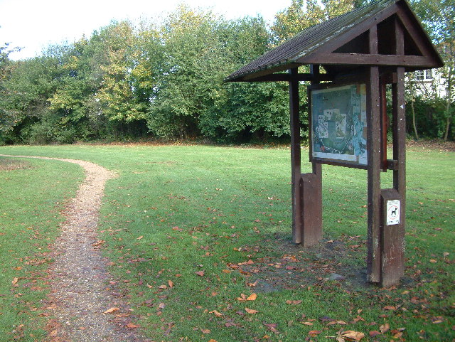
Stour Valley Nature Reserve. This is the entrance to the reserve with the information board in the foreground
Pond at Parley Green. Not seen by many members of the public, this pond is home to ducks, swans, coots and geese. It is by the road to Parley Manor Farm, which is a public footpath.


