Tickton and Leven Canal Walk
![]()
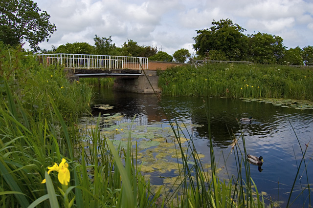
![]() This walk takes you from the village of Tickton to the Leven Canal, using public footpaths along the River Hull. The route links the two East Riding villages using flat, waterside paths with nice countryside views on the way.
This walk takes you from the village of Tickton to the Leven Canal, using public footpaths along the River Hull. The route links the two East Riding villages using flat, waterside paths with nice countryside views on the way.
The walk starts just to the east of Tickton where you can pick up the paths along the river. Follow the path on the eastern side north for about 2 miles and you will come to the Leven Canal. This runs east for just about 3 miles, taking you into Leven.
The canal was in 1805, and remained in use until 1935. It is now a Site of Special Scientific Interest. It includes an aqueduct at Sandholme Farm, which carries the canal over a drainage ditch which was already in existence when the canal was built. It is grade II listed and is largely constructed from red bricks, and has three segmental arches.
To continue your walking in the area you could try our River Hull Walk, which starts in Beverly and explores the Beverley Beck before heading to Tickton.
Tickton and Leven Canal Walk Ordnance Survey Map  - view and print off detailed OS map
Tickton and Leven Canal Walk Open Street Map  - view and print off detailed map
Tickton and Leven Canal Walk OS Map  - Mobile GPS OS Map with Location tracking
Tickton and Leven Canal Walk Open Street Map  - Mobile GPS Map with Location tracking
Pubs/Cafes
After your walk head to the New Inn at 44 South St in Leven (postcode: HU17 5NZ). The popular, family run pub has a good menu and selection of beers.
Further Information and Other Local Ideas
Head south west and you could visit the neighbouring villages of Cottingham and Skidby. The main attraction here is the Grade II listed Skidby Mill which dates back to 1821. The working mill includes an interesting museum and a fine restaurant with a landscaped garden.
For more walking ideas in the area see the Yorkshire Wolds Walks page.


