Tinto Hill Walk
![]()
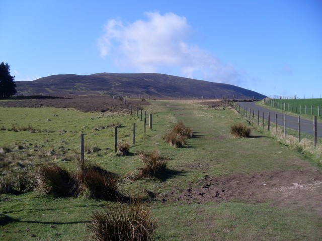
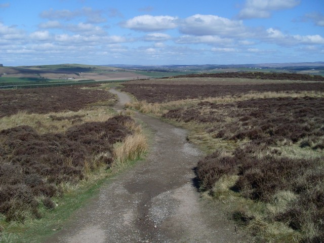
![]() This popular walk climbs to Tinto Hill in the Southern Uplands of Scotland.
This popular walk climbs to Tinto Hill in the Southern Uplands of Scotland.
You can start the walk from the Tinto Hill car park just to the south west of Thankerton at Fallburn. The postcode is ML12 6PD for your sat navs. From here you can pick up footpaths heading south to Totherin Hill and Tinto Hill which stands at a height of 711 m (2,333 ft). At the summit you'll find the noteworthy "Tinto Cairn". With a diameter of 45 m (148 ft) and a height of 6 m (20 ft) it is one of the largest Bronze Age round cairns in Scotland. From here there are magnificent views over the surrounding hills and countryside.
After taking in the views you then descend on the same paths back to the car park.
Postcode
ML12 6PD - Please note: Postcode may be approximate for some rural locationsTinto Hill Ordnance Survey Map  - view and print off detailed OS map
Tinto Hill Open Street Map  - view and print off detailed map
Tinto Hill OS Map  - Mobile GPS OS Map with Location tracking
Tinto Hill Open Street Map  - Mobile GPS Map with Location tracking
Pubs/Cafes
The Tinto Hill Tearoom is located very close to the start of the walk near the car park. The walker friendly tea room serves a delicious range of snacks and meals. It's the ideal place to warm up and rest after your exercise. You can find them on Carlisle Road, Thankerton, Biggar ML12 6PD.
Dog Walking
The walk is a good one for fit dogs and the tea rooms mentioned above are also dog friendly.
Further Information and Other Local Ideas
Head a few miles north west and you could enjoy a somewhat easier walk around Lanark Moor Country Park. Here there's a nice circular walk around the pretty Lanark Loch to enjoy.
The Falls of Clyde Nature Reserve is also nearby. Here you can enjoy woodlands, waterfalls and a walk along the River Clyde. You can also pick up the Clyde Walkway here.
To the south east there's some fine waterside walking at Megget Reservoir, Talla Reservoir, Camps Reservoir and St Mary's Loch to enjoy.
Head north and there's the historic Carmichael Estate to explore. Covering over 2,000 acres, the estate has been home to the Carmichael family for over 800 years, with remnants of their ancestral history scattered throughout the landscape.
Cycle Routes and Walking Routes Nearby
Photos
Paths rejoin near the summit. The singular path to the Tinto summit is briefly split in two for a few hundred yards to this point here.
The enormous cairn on the summit. The trig point is behind the photographer. The summit cairn is a Bronze Age circular cairn, measuring some 43m in diameter and reputedly the largest summit cairn in Scotland. This explains the two heights quoted by the OS for the summit - 707m for the trig and 711m for the cairn.


