Tophill Low Nature Reserve
![]()
![]() This lovely nature reserve near Driffield is a splendid place for an easy waterside walk. There's also an abundance of wildlife to see with many species of water loving bird to look out for. In particular keep your eyes peeled for the Kingfisher and the attractive Bittern from one of the many viewing hides dotted around the sites.
This lovely nature reserve near Driffield is a splendid place for an easy waterside walk. There's also an abundance of wildlife to see with many species of water loving bird to look out for. In particular keep your eyes peeled for the Kingfisher and the attractive Bittern from one of the many viewing hides dotted around the sites.
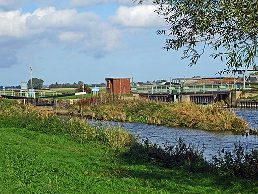
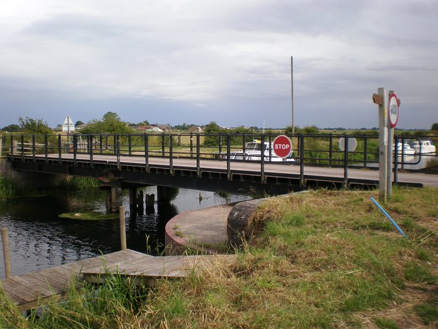
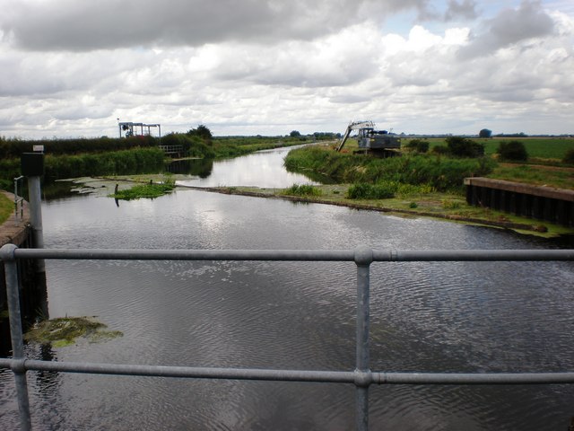
This circular walk starts from the visitor centre car park before heading north along the upper reservoir. You can then continue north along the River Hull New Cut before crossing to the other side on Bethell's Swing Bridge. The route continues to Emmotland and Coneygarth Hill before following a bridleway south to Hempholme Farm. You then head west to return to the River Hull, crossing at the Lock and the heading south to retrace your steps back to the car park.
Postcode
YO25 9RH - Please note: Postcode may be approximate for some rural locationsTophill Low Ordnance Survey Map  - view and print off detailed OS map
Tophill Low Open Street Map  - view and print off detailed map
Tophill Low OS Map  - Mobile GPS OS Map with Location tracking
Tophill Low Open Street Map  - Mobile GPS Map with Location tracking
Pubs/Cafes
The Brandesburton Walk visits the site from the nearby village. It's well worthy of a visit with a medieval church and the 16th century Dacre Arms. The historic pub is a nice place for some post walk refreshment with good food and parking available. You can find them on the Main Street at postcode YO25 8RL.
Further Information and Other Local Ideas
To continue your walking in the area head east to visit the popular Hornsea Mere. The expansive mere has more nice waterside trails and wildlife. There's also the opportunity to visit the seaside resort of Hornsea and enjoy a stroll along the prom. Just south of here there's also Burton Constable where you'll find an historic old hall surrounded by Capability Brown landscaped parkland and gardens.
A few miles to the east there's the worthy village of Skipsea where you can explore the photogenic ruins of the 11th century Skipsea Castle.
Cycle Routes and Walking Routes Nearby
Photos
South Marsh West, Tophill Low Nature Reserve, west of Burshill, East Riding of Yorkshire. Looking south east from a hide. There was much excitement early in 2005 when a pair of bitterns moved in.
Beverley & Barmston Drain, east-south-east of Watton. Seen from just south of the entrance to the Yorkshire Water treatment plant/nature reserve


