Torcross to Beesands and Start Point Walk
![]()
![]() The small coastal village of Torcross sits in a lovely spot next to the large lake in the Slapton Ley Nature Reserve in Devon.
The small coastal village of Torcross sits in a lovely spot next to the large lake in the Slapton Ley Nature Reserve in Devon.
This walk from the village takes you south along the South West Coast Path to Start Point via the neighbouring village of Beesands. It's about a 4 mile walk from the village to the lighthouse with the option of circling the headland when you get up there.
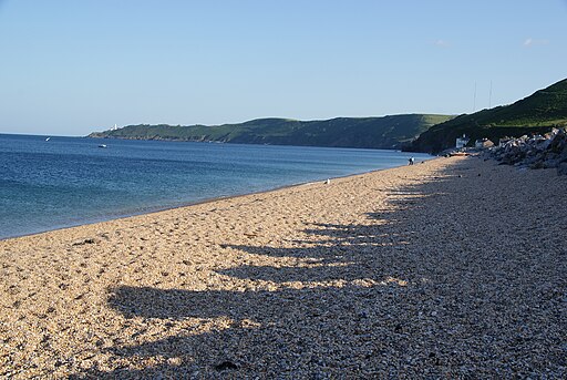
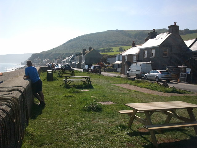
The walk starts in the village car park and heads south along Bee Sands beach to nearby Beesands. You continue past Tinsey Head, Bickerton and Hallsands where you'll pass the ruined village at Wilson's Rock.
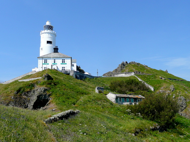
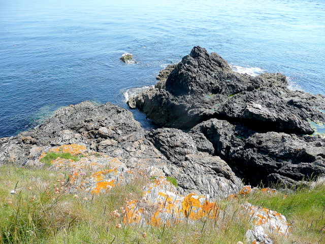
You continue south east along the Start Point headland where you will find a lighthouse and steps down to a secluded beach. The area is great for wildlife with seals and dolphins to look out for in the waters below. There's also some wonderful views along the coast from the elevated position of the headland.
You can extend the walk by continuing west to visit Prawle Point.
Torcross to Beesands and Start Point Ordnance Survey Map  - view and print off detailed OS map
Torcross to Beesands and Start Point Open Street Map  - view and print off detailed map
Torcross to Beesands and Start Point OS Map  - Mobile GPS OS Map with Location tracking
Torcross to Beesands and Start Point Open Street Map  - Mobile GPS Map with Location tracking
Walks near Torcross
- Start Point Devon - This is a popular circular walk around this beautiful headland on the South Devon coast
- Slapton Ley - This walk takes you along Slapton Sands and the Slapton Ley National Nature Reserve in Devon
- Prawle Point - Visit this wonderful coastal headland on this exhilarating walk in South Devon
- Blackpool Sands - Visit the popular Blackpool Sands beach and enjoy a circular walk to Strete on this coastal route near Stoke Fleming
- Dartmouth and the Dart Estuary - Enjoy one of the finest areas of Devon on this waterside walk in Dartmouth
- Dartmouth to Dittisham - If you are visiting Dartmouth then this is a lovely walk to try
- Coleton Fishacre - This circular walk explores the beautiful Coleton Fishacre gardens before picking up the South West Coast Path for a stretch along the coast.
- Tuckenhay - Tuckenhay is a pleasant little hamlet in South Devon
- Kingswear to Greenway Walk - This walk takes you along a section of the Dart Valley Trail from Kingswear to the National Trust's Greenway House
- Torcross to Beesands and Start Point - The small coastal village of Torcross sits in a lovely spot next to the large lake in the Slapton Ley Nature Reserve in Devon.
- Stoke Fleming - This small Devon village is located near Dartmouth on the South West Coast Path.
Pubs/Cafes
The Start Bay Inn is conveniently located at the start of the walk, right next to the Torcross car park. The pub has an interesting history dating back to the 14th century when it was used by the local fishermen who worked their fishing boats from the village beach in front of the pub. The inn includes a lovely sea front patio where you can relax outside and enjoy sea views with some delicious sea food.
Photos
Start Point Lighthouse. The building lower down to the right is a block of old pig sties dating back to when the lighthouse keepers tended their own smallholding on the sreep northern side of the headland. Above and behind the scene are the schist outcrops of The Warren which forms the spine of the peninsula.


