Tottenham Marshes Walk And Cycle
![]()
![]() This North London based nature reserve includes some pleasant cycling and walking trails taking you around grassland, wildflower meadows, scrubland, waterways and a lake.
This North London based nature reserve includes some pleasant cycling and walking trails taking you around grassland, wildflower meadows, scrubland, waterways and a lake.
The park is located in the London Borough of Haringey, near to Northumberland Park and Tottenham Hale Stations.
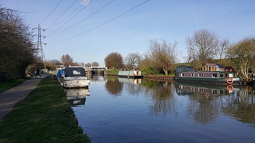
You can start off from the on site car park and then pick up a circular trail around the site. Part of the route runs along the River Lee Navigation Canal and the Lockwood Reservoir on the eastern side of the park.
The Lea Valley Walk can be followed south to additionally visit Walthamstow Marshes. Along the way there's lots of wildlife to look out for including skylark, short eared owl, pochard, tufted duck, coot, yellow wagtail, sedge warbler, great crested grebe and reed warbler.
Postcode
N17 0XD - Please note: Postcode may be approximate for some rural locationsTottenham Marshes Ordnance Survey Map  - view and print off detailed OS map
Tottenham Marshes Open Street Map  - view and print off detailed map
Tottenham Marshes OS Map  - Mobile GPS OS Map with Location tracking
Tottenham Marshes Open Street Map  - Mobile GPS Map with Location tracking
Pubs/Cafes
Near the car park there's the Stonebridge Lock Waterside Cafe. It's located in a lovely spot next to the canal and serves a good range of drinks, cakes and sandwiches. You can sit outside and enjoy a nice view of the water with your meal.
Dog Walking
The area is popular with dog walkers and the cafe mentioned above is also dog friendly.
Cycle Routes and Walking Routes Nearby
Photos
The Tottenham Tower. The 'tower' is a piece of public art, comprising a collage of tiles and other media by local children to illustrate the history and wildlife of the Tottenham Marshes
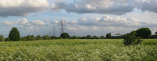
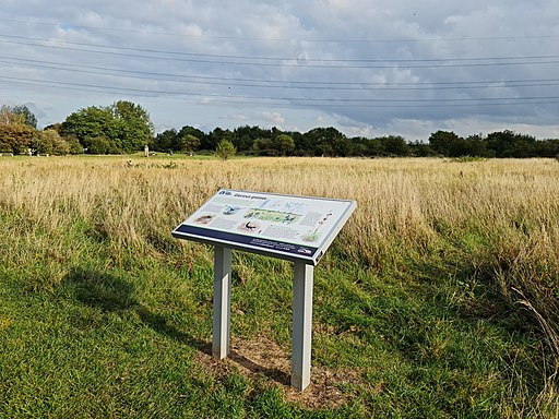
The marsh is made up of three main areas: Clendish Marsh, Wild Marsh West and Wild Marsh East.
You can just about see the buildings of Canary Wharf in Docklands and the Gherkin (9 km away) in the City of London.


