Trearddur Bay
![]()
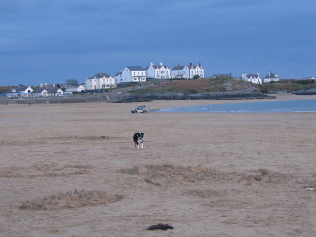
![]() This walk takes you along the lovely Trearddur Bay on Holy Island off the north-west coast of Anglesey in Wales. The seaside resort has a nice coastal path with two beaches and great views towards Holyhead Mountain.
This walk takes you along the lovely Trearddur Bay on Holy Island off the north-west coast of Anglesey in Wales. The seaside resort has a nice coastal path with two beaches and great views towards Holyhead Mountain.
The walk starts from the Trearddur Bay Hotel at the north western end of the bay. From here you can pick up coast paths heading east and then south along the bay. You pass along the main beach before coming to Porth Diana where there is another beach and circular walk around the headland.
After retracing your steps along the beaches you can enjoy some post walk refreshments at the Trearddur Bay Hotel where there are nice views across the bay.
The Anglesey Coast Path runs past the bay so there is scope for continuing your walking in the area.
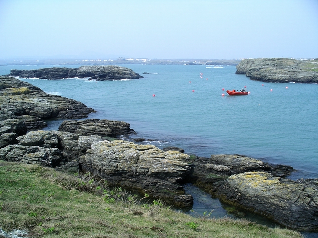
You could continue a short distance south to visit Porth Castell where there is a delightful little cove and beach.
Trearddur Bay Ordnance Survey Map  - view and print off detailed OS map
Trearddur Bay Open Street Map  - view and print off detailed map
Trearddur Bay OS Map  - Mobile GPS OS Map with Location tracking
Trearddur Bay Open Street Map  - Mobile GPS Map with Location tracking
Further Information and Other Local Ideas
Head south along the coast path and you could pay a visit to the village of Rhoscolyn which is notable as the most southerly settlement on the island. It's an interesting area with the mediaeval St Gwenfaen's Well, the lovely sandy Borthwen Beach and the dramatic rocky coastline with its islands and two natural arches. The Trearddur Bay to Rhoscolyn White Eagle Walk will take you to the village and the popular White Eagle pub where you can enjoy a fine meal with a wonderful view.
For more walking ideas in the area see the Anglesey Walks page.


