Treeton Dyke
![]()
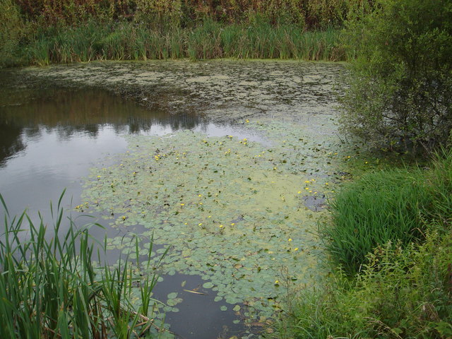
![]() This circular walk takes you around Treeton Dyke and woods in Rotherham.
This circular walk takes you around Treeton Dyke and woods in Rotherham.
The walk starts on the southern side of the lake. From here you can pick up a footpath heading along the eastern side of the water and the adjacent Hail Mary Wood. The trail heads towards Treeton before returning on the western side where there are more paths on Orgreave Common and the Forgemasters Tip.
It's easy to extend the walk by heading a short distance east to visit the neighbouring Ulley Country Park. There's another nice waterside trail around the Ulley Reservoir here.
Postcode
S60 5DP - Please note: Postcode may be approximate for some rural locationsTreeton Dyke Ordnance Survey Map  - view and print off detailed OS map
Treeton Dyke Open Street Map  - view and print off detailed map
Treeton Dyke OS Map  - Mobile GPS OS Map with Location tracking
Treeton Dyke Open Street Map  - Mobile GPS Map with Location tracking
Pubs/Cafes
In nearby Ulley Park there's a small cafe where you could grab a bite to eat after your walk.
To the south there's the Oxbow micropub which serves fine real ale. You can find them at 103 Furnace Ln, S13 9XD.
Dog Walking
The area is popular with dog walkers so you'll probably see other owners on your visit. The Oxbow pub mentioned above is also dog friendly.
Further Information and Other Local Ideas
The waymarked Rotherham Round Walk passes just to the north of Treeton village. The long distance footpath is a great way of exploring the area around the town. It will take you towards Wentworth Woodhouse which is one of the highlights of the area.
Head south along the Sheffield Country Walk and there's more pleasant waterside walking around the large lake in Rother Valley Country Park. Harthill Reservoir and Pebley Reservoir are also located nearby.
A few miles to the north there's another lovely lakeside trail and lots of wildlife to see in the popular Thrybergh Country Park. The peaceful woodland trails in Wickersley Woods are also located near here.
Cycle Routes and Walking Routes Nearby
Photos
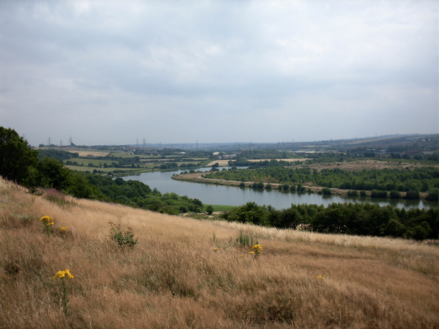
River Rother at Treeton. You'll find some pleasant trails along the river just to the west of the lake.


