Trefil Quarry Walk
![]()
![]() This walk visits the Trefil Quarry in the small village of Trefil in Blaenau Gwent, south Wales.
This walk visits the Trefil Quarry in the small village of Trefil in Blaenau Gwent, south Wales.
The limestone quarries sit just north of Trefil, not far from Tredegar. At 409 metres (1,342 ft) above sea level, the Ordnance Survey recognise Trefil as the highest village in Wales.
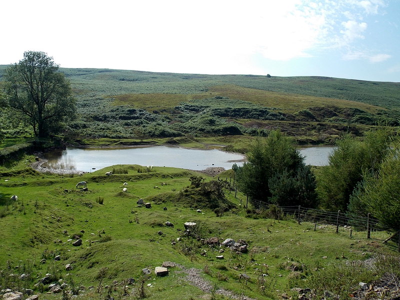
You can follow a country lane north towards the quarry before picking up trails above the site with some fine views over the unusual landscape of the quarry. The route then continues south to visit Shon-Sheffrey's Reservoir before returning to the village.
Along the way there's some nice views of the surrounding countryside and moorland too. You can see the nearby Sirhowy Valley and the mountains of the Brecon Beacons National Park from these fine vantage points. The area is also great for wildlife with ring ouzel, wheatear, stonechat, whinchat, snipe and red grouse to look out for.
To continue your walking in the area head south to visit Parc Bryn Bach where there are some lovely walks around a pretty lake and park.
Postcode
NP22 4HG - Please note: Postcode may be approximate for some rural locationsTrefil Quarry Ordnance Survey Map  - view and print off detailed OS map
Trefil Quarry Open Street Map  - view and print off detailed map
Trefil Quarry OS Map  - Mobile GPS OS Map with Location tracking
Trefil Quarry Open Street Map  - Mobile GPS Map with Location tracking
Pubs/Cafes
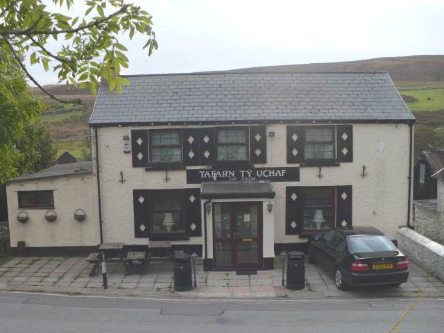
Back in the village you can enjoy some post walk refreshments at the Top House pub. They serve a fine Sunday lunch and have a garden area to relax in. The building dates to 1851 and you can find them at a postcode of NP22 4HG for your sat navs.
Cycle Routes and Walking Routes Nearby
Photos
Old and older rail embankments. The Trefil Tramroad and the Sirhowy Tramroad formerly linked the quarries with the heavily industrialised areas to the south, providing limestone for the furnaces. The former Brinore Tramroad connected the quarries at Trefil with the Monmouthshire and Brecon Canal at Talybont in the Usk Valley to the north.


