Trefin To Porthgain Coastal Path
![]()
![]() This coastal village is located in North Pembrokeshire on the Pembrokeshire Coast Path. Trefin includes a small low-tide sand and shingle beach below the historic mill. Some of Trefin's old village cottages and the old mill's remains date back to the 15th century
This coastal village is located in North Pembrokeshire on the Pembrokeshire Coast Path. Trefin includes a small low-tide sand and shingle beach below the historic mill. Some of Trefin's old village cottages and the old mill's remains date back to the 15th century
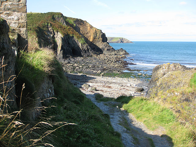
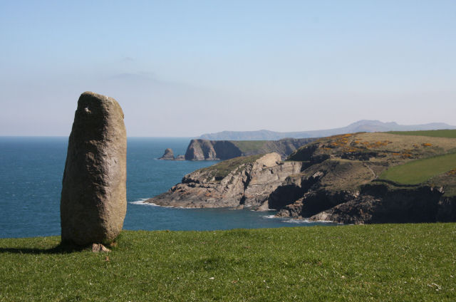
This walk takes you along the coast path to Porthgain. The route runs for about 2.5 miles along an undulating cliff top path with splendid rock formations and caves. You'll pass the stunning cliffs at Aber Draw and the waterfall at Pwll Crochan before coming to Porthgain. Here you will find a picturesque harbour, galleries, old quarries and fine pubs for rest and refreshment.
Please scroll down for the full list of walks near and around Trefin. The detailed maps below also show a range of footpaths, bridleways and cycle paths in the area.
Trefin Ordnance Survey Map  - view and print off detailed OS map
Trefin Open Street Map  - view and print off detailed map
Trefin OS Map  - Mobile GPS OS Map with Location tracking
Trefin Open Street Map  - Mobile GPS Map with Location tracking
Walks near Trefin
- Pembrokeshire Coast Path - Brace yourself for some spectacular coastal scenery on this magnificent 186 mile trail that passes through the Pembrokeshire Coast National Park
- Porthgain - This pretty village sits in a lovely location on the Pembrokershire coast
- Ramsey Island - Explore this beautiful island and RSPB Nature Reserve on this circular walk off the Pembrokeshire Coast
- Solva to St Davids Coastal Walk - A popular coastal walk from Solva to St David's along a section of the Pembrokeshire Coast Path
- St David's Head - Widely considered to be the most spectacular coastal headland on the Pembrokeshire Coast, this stunning area is a must see when visiting the National Park
- Strumble Head - This circular walk takes you to this wonderful rocky headland on the Pembrokeshire coast
- Garn Fawr - This walk climbs to the excellent Garn Fawr viewpoint on the Pembrokeshire coast.
Photos
Aber Draw, near Trefin. The village is well known as the home village of Cerys Matthews, former lead singer with Catatonia.
Cottages and Bridge, Trefin. The cottages in the background have a feature common in this area, which is a cement skim over the slate roof tiles, hence the light colour of the roof. These cottages were built in the 19th century to house the workers in the nearby slate quarry (the same firm as the quarries at Porthgain and Abereiddy).


