Trelissick House and Gardens
2.5 miles (4 km)
![]()
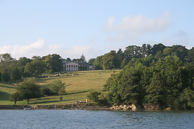
![]() Explore the beautiful 300-acre estate of this National Trust run country house in Cornwall.
Explore the beautiful 300-acre estate of this National Trust run country house in Cornwall.
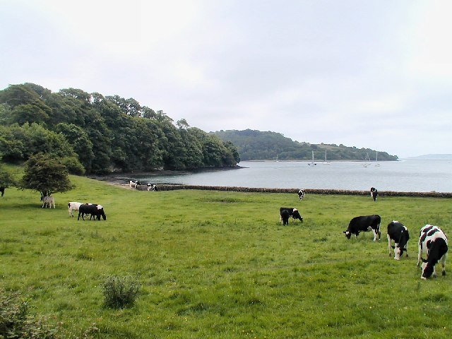
The estate is located on the estuary of the River Fal with a trail running through woodlands alongside the river. Trelissick also includes 30 acres of elevated garden with exotic plants, rhododendrons, flowers and huge towering trees.
Postcode
TR3 6QL - Please note: Postcode may be approximate for some rural locationsPlease click here for more information
Trelissick House and Gardens Ordnance Survey Map  - view and print off detailed OS map
Trelissick House and Gardens Open Street Map  - view and print off detailed map
Trelissick House and Gardens OS Map  - Mobile GPS OS Map with Location tracking
Trelissick House and Gardens Open Street Map  - Mobile GPS Map with Location tracking
Further Information and Other Local Ideas
The gardens are located close to the cathedral city of Truro where there are some lovely riverside walks to try.
For more walking ideas in the area see the Cornwall Walks page.


