Troutbeck Tongue Circular Walk
![]()
![]() This walk climbs to Troutbeck Tongue fell located near Ambleside in the Lake District. It's just under 7 miles with a fairly steep climb to the summit on the way.
This walk climbs to Troutbeck Tongue fell located near Ambleside in the Lake District. It's just under 7 miles with a fairly steep climb to the summit on the way.
The walk starts from the village of Troutbeck heads north east past Town End. This old farmhouse is now owned by the National Trust so you can explore the quirky interior if you have time.
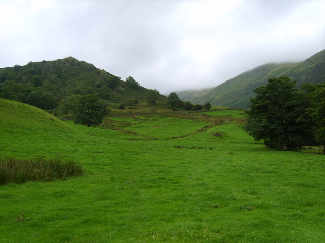
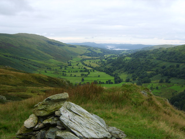
The route then follows Ing Lane to Ing Bridge where you cross the pretty Trout Beck. You continue pass Hagg Bridge where you will pass Troutbeck Park Farm. This 1,900 acre farm was bought by the children's book author and illustrator Beatrix Potter in 1923. When she died in 1943, she left the farm and its land to the National Trust. From here you begin the ascent to the summit of the Tongue which stands at 364 m (1,194 ft). From here there are fine views down the beautiful Troutbeck Valley to Lake Windermere.
After taking in the views you continue north for just under a mile before turning east and then south to pick up a track along the Hagg Gill. Follow it south and it will take you to Lowther Brow, Long Green Head and the caravan park at Limefitt Park. You then cross the beck again and return to the village.
Troutbeck Tongue Ordnance Survey Map  - view and print off detailed OS map
Troutbeck Tongue Open Street Map  - view and print off detailed map
Troutbeck Tongue OS Map  - Mobile GPS OS Map with Location tracking
Troutbeck Tongue Open Street Map  - Mobile GPS Map with Location tracking
Pubs/Cafes
The Queens Head in Troutbeck village is a fine choice for some post walk refreshments. It's set in a former 17th century coaching inn, nestled on the side of the fells over looking the Troutbeck Valley. There's a decent selection of ales and they do good homely classic pub food with a Cumbrian flair. There's outdoor seating where you can enjoy your meal with a wonderful view on finer days. You can find the inn at Townhead Brow with a postcode of LA23 1PW for your sat navs.
Dog Walking
It's a good walk for fit dogs and the Queens Head mentioned above is also very dog friendly and will provide water for your pet.
Further Information and Other Local Ideas
The Windermere to Ambleside Walk passes Troutbeck so you could pick this up to continue your walking in the area. You could follow it south to visit the fine viewpoint at Orrest Head for example. If you head north west it will take you to Wansfell Pike and Stock Ghyll Force waterfall.
For more walking ideas in the area see the Ambleside Walks and Lake District Walks pages.
Cycle Routes and Walking Routes Nearby
Photos
Town End, Troutbeck. The Browne family, Cumbrian yeomen, lived in this house from 1623 to 1943. George Browne (1834-1914) was the last of the male line, and the house contains his collection of old furniture, obsolete domestic utensils etc. There is also richly carved furniture made by members of the family over the centuries. The house and farmland was transferred to the National Trust by the Treasury in 1948, having been accepted in lieu of death duties. Note the round chimneys, typical of this area.


