GPS Cycle and Walking Routescycle iconwalk icon

Tweedbank to Melrose Walk

3.1 miles (5 km)

Ordnance Survey Map Open Streetmap This waterside walk follows riverside trails and a popular section of the Southern Upland Way from Tweedbank to Melrose in the Scottish Borders.
The walk runs along the southern side of the River Tweed with some fine old bridges and lovely views across the water to the surrounding woods and countryside. It finishes in Melrose at the historic Melrose Abbey. The abbey was founded in 1136 as the first Cistercian monastery in Scotland. You can explore the atmospheric ruins and find out more about the history in the associated museum.
On the way you'll also pass along part of the Borders Abbeys Way which you can follow to the other ancient abbeys in the region.

Tweedbank to Melrose OS Map Ordnance survey map - Mobile GPS OS Map with Location tracking

Tweedbank to Melrose Open Street Map Open Streetmap - Mobile GPS Map with Location tracking

Cycle Routes and Walking Routes Nearby

Photos

Gunknowe Loch, Tweedbank

Gunknowe Loch, Tweedbank

Ramblers by the River Tweed - geograph.org.uk - 3965382

Ramblers by the River Tweed

River Tweed, Langlee, Galashiels, Scotland - panoramio (1)

River Tweed, Langlee, Galashiels, Scotland

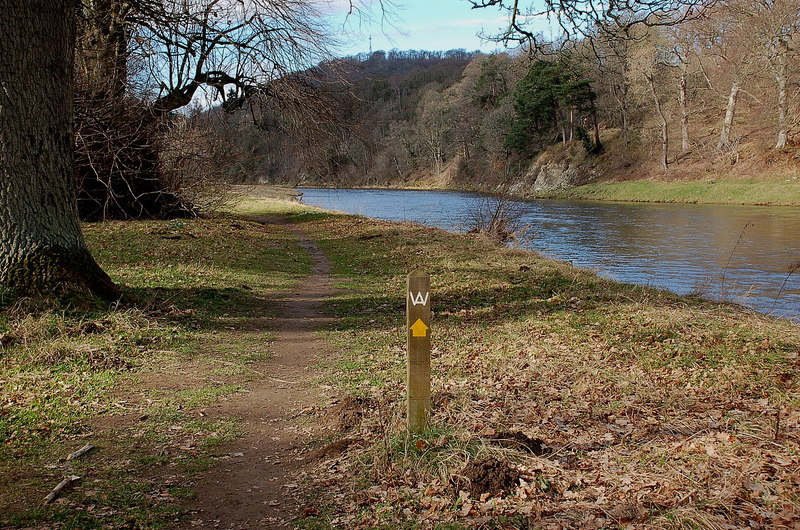
Borders Abbeys Way near Lowood House - geograph.org.uk - 2290888

Borders Abbeys Way near Lowood House

Langlee-Tweedbank Bridge, Galashiels, Scotland - panoramio

Langlee-Tweedbank Bridge, Galashiels, Scotland

The River Tweed at Lowood - geograph.org.uk - 4911178

The River Tweed at Lowood

On Borders Abbeys Way by Lowood, Tweedbank - geograph.org.uk - 6011834

On Borders Abbeys Way by Lowood, Tweedbank

Melrose Abbey from roof 2009

Melrose Abbey from roof 2009

GPS Files

GPX File

Tweedbank to Melrose.gpx (On Desktop:Right Click>Save As. On Ipad/Iphone:Click and hold>Download Linked File)