Upper And Lower Heyford Canal Walk
![]()
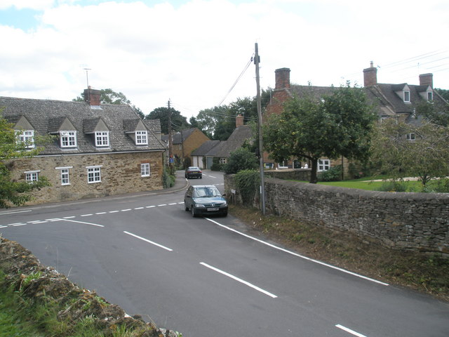
![]() This walk visits the pretty Oxfordshire villages of Upper And Lower Heyford.
This walk visits the pretty Oxfordshire villages of Upper And Lower Heyford.
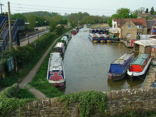
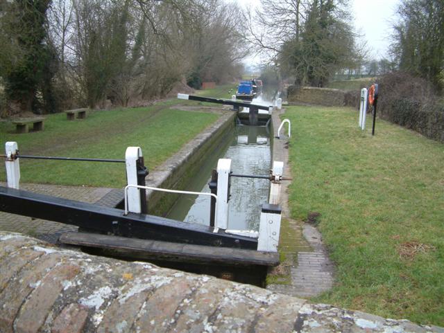
The villages sit in a pleasant waterside spot on the Oxford Canal and the River Cherwell.
This circular walk starts at the train station at Lower Heyford before following a section of the canal north to Upper Heyford. Here you can enjoy views of the historic 15th century church and tithe barn.
You'll then head west, crossing the river and canal before passing through the countryside to neighbouring Steeple Aston.
You can extend the walk by heading a short distance south to visit Rousham Park. Here you'll find extensive gardens surrounding a 17th century country house.
Upper And Lower Heyford Canal Walk Ordnance Survey Map  - view and print off detailed OS map
Upper And Lower Heyford Canal Walk Open Street Map  - view and print off detailed map
Upper And Lower Heyford Canal Walk OS Map  - Mobile GPS OS Map with Location tracking
Upper And Lower Heyford Canal Walk Open Street Map  - Mobile GPS Map with Location tracking
Walks near Upper And Lower Heyford
- Oxford Canal Walk - Follow the Oxford Canal from Oxford to Coventry on this splendid waterside walk
- Banbury - Explore the area surrounding the Oxfordshire town of Banbury on this long circular walk
- Bicester - This walk from the Oxfordshire town of Bicester takes you through the countryside on the Cross Bucks Way visiting a series of pretty villages
- Stoke Wood - These ancient woods are located near Bicester in Oxfordshire
- Deddintgon Circular Walk - A nice circular walk through the countryside surrounding the Oxfordshire village of Deddington
- Kings Sutton - This attractive West Northamptonshire village is a lovely place to start a walk
- Adderbury Circular Walk - This three mile circular walk explores the countryside around the Oxfordshire villages of Adderbury and Bodicote
- Adderbury Lakes - Enjoy a short walk around this pretty nature reserve in the Oxfordshire village of Adderbury
- Bloxham - This circular walk explores the countryside around the pretty village of Bloxham
- Bodicote Circular Walk - This short circular walk explores the countryside around the Oxfordshire village of Bodicote near Banbury
- Clattercote Reservoir - This small reservoir is located just south of Claydon in Oxfordshire.
- Boddington Reservoir - Enjoy a peaceful walk around this pretty reservoir near Banbury
- Tusmore Park Estate - This walk explores the Tusmore Park Estate, near Bicester in Oxfordshire.
- Rousham Park - Explore the beautiful gardens surrounding this 17th century country house near Oxford
- Kirtlington Quarry - This walk explores the Oxfordshire village of Kirtlington visiting the Kirtlington Quarry Nature Reserve, the River Cherwell and the Oxford Canal Walk.
Further Information and Other Local Ideas
Head south and you will come to Kirtlington where you can explore the Kirtlington Quarry Nature Reserve. It's an interesting site where the fossils of several species of extinct mammal having been found. The historic Kirklington Park estate is also located in this area.
Photos
Manor Farmhouse, Upper Heyford, Oxfordshire, seen from the southwest. In the foreground is the Oxford Canal. Behind the house is the 15th-century west tower of St Mary's parish church. On the right is the end of the tithe barn, built about 1400.


