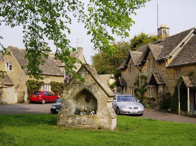
Walk from Bourton on the Water to Lower Slaughter
3.1 miles (5 km)
![]()
![]() A short circular walk through a particularly lovely part of the Cotswolds. The circular route uses two of the area's waymarked long distance trails to take you from Bourton on the Water to Lower Slaughter.
A short circular walk through a particularly lovely part of the Cotswolds. The circular route uses two of the area's waymarked long distance trails to take you from Bourton on the Water to Lower Slaughter.
The route starts by following the Heart of England Way to Lower Slaughter, passing through the village before following the River Eye. You can return the same way or pick up the Warden's Way to return to Bourton on the Water. There's also the option of turning it into a longer walk by following the Macmillan Way and the Windrush Way back to the village. This involves a nice waterside section along the River Windrush.


