Wallington Hall
![]()
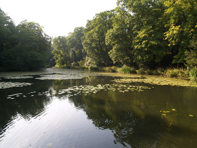
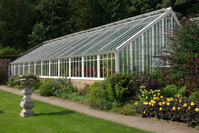
![]() Explore the Wallington estate on this walk in Northumberland. Here you will find a country house and pretty gardens. The grounds are lovely and include lakes, woodland, parkland and a beautiful walled garden. The estate is located about 12 miles west of Morpeth.
Explore the Wallington estate on this walk in Northumberland. Here you will find a country house and pretty gardens. The grounds are lovely and include lakes, woodland, parkland and a beautiful walled garden. The estate is located about 12 miles west of Morpeth.
To extend your walking in the area you could head north to pick up the Wannie Line Walk. The circular walk explores the northern part of the estate, following the old Wannie and Rothbury railway lines.
You could also visit Hartburn Glebe where there's lovely river walk, woodland trails and lots of wildlife to look out for. Just to the south east of the hall you will find Shaftoe Crags where there's interesting rock formations and fine views from the cliff top. Bolam Lake Country Park with its lovely waterside walks is also nearby.
Please click here for more information
Wallington Hall Ordnance Survey Map  - view and print off detailed OS map
Wallington Hall Open Street Map  - view and print off detailed map
*New* - Walks and Cycle Routes Near Me Map - Waymarked Routes and Mountain Bike Trails>>
Wallington Hall OS Map  - Mobile GPS OS Map with Location tracking
Wallington Hall Open Street Map  - Mobile GPS Map with Location tracking
Explore the Area with Google Street View 
Cycle Routes and Walking Routes Nearby
Photos
Looking across the garden which is set in the valley of a small stream - a tributary of the River Wansbeck.


