Wells to Holkham Walk
![]()
![]() This walk takes you to the Holkham Nature Reserve and Holkham Park from Wells-next-the-Sea on the North Norfolk coast. It's about a 4.5 mile walk from the town to the park, using a series of flat footpaths.
This walk takes you to the Holkham Nature Reserve and Holkham Park from Wells-next-the-Sea on the North Norfolk coast. It's about a 4.5 mile walk from the town to the park, using a series of flat footpaths.
The walk starts at the harbour in Wells, close to the train station. From here you can pick up the Peddars Way and Norfolk Coast Path and follow it north along Beach Road. The trail runs alongside the Wells Harbour Railway, which runs for 1,200 yards (1,100 m) between Wells Harbour and Pinewoods.
You soon reach the Lifeboat station and the Coastguard station next to the beach and the boating lake. Turn west here to take you through a lovely woodland area in Holkham Meals. The trails also lead down to the lovely beach where there's dunes, sea lavender and lagoons to see.
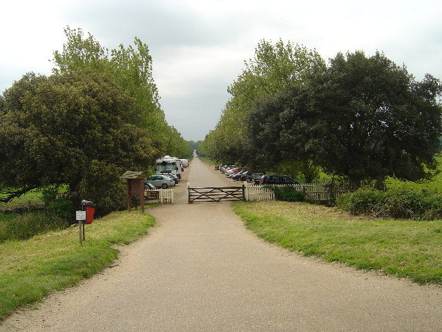
The route then turns south along the pretty Lady Ann's Drive which leads you into Holkham Park. Nice trails run through the park to the hall and the lake, where the walk finishes.
The magnificent 3000 acre park includes a large lake, the Obelisk, a beautiful 18th century mansion and attractive woodland. There are also a number of waymarked walking trails including a lakeside trail and a nature trail with information boards. Flora and fauns in the park includes a large herd of Fallow Deer, a smaller herd of Red Deer, Barn Owls and the evergreen oaks imported from Italy.
To extend the walk continue west along the coast park into the Holkham National Nature Reserve. Here you'll find 600 acres of grazing marsh, woodland, salt marsh, sand dunes and foreshore in England's largest Nature Reserve. You could also try the Wells-Next-the-Sea to Blakeney Walk. In the reserve there is a mixed colony of around 500 seals which can be seen on the beach or from boat trips departing from Morston Quay to Blakeney Point Nature Reserve.
Wells to Holkham Walk Ordnance Survey Map  - view and print off detailed OS map
Wells to Holkham Walk Open Street Map  - view and print off detailed map
Wells to Holkham Walk OS Map  - Mobile GPS OS Map with Location tracking
Wells to Holkham Walk Open Street Map  - Mobile GPS Map with Location tracking
Further Information and Other Local Ideas
Head south to Great Walsingham and you could pick up the Walsingham Way. This long distance trail runs from the mediaeval abbey at Great Walsingham to the city of Norwich, passing several fascinating historic sites on the way. The abbey in Walsingham is one of the highlights of the area and not too far from Wells. There's some lovely grounds with the snowdrop and bluebell walks particularly popular.


