Wenlock Edge Circular Walk
![]()
![]() This circular walk from Much Wenlock explores the eastern end of the beautiful Wenlock Edge. On the way you'll visit old quarries, follow peaceful woodland trails and enjoy fine views over the Shropshire Hills. In the summer months you can also enjoy lots of wildflowers and the smell of wild garlic. It's about a 5 mile route with some moderate climbing on the way.
This circular walk from Much Wenlock explores the eastern end of the beautiful Wenlock Edge. On the way you'll visit old quarries, follow peaceful woodland trails and enjoy fine views over the Shropshire Hills. In the summer months you can also enjoy lots of wildflowers and the smell of wild garlic. It's about a 5 mile route with some moderate climbing on the way.
The walk starts from the National Trust car park just to the west of the town. From here you can pick up the Shropshire Way and follow it up through Blakeway Hollow to Blakeway Farm and Major's Leap. This noteworthy viewpoint is the spot from where a Royalist major is said to have jumped on horseback to escape pursuers during the Civil War. From here there are fine views of Caer Caradoc and the Long Mynd.
The route then heads toward Presthope where you can see the old Knowle Quarry lime kilns. After passing the limestone quarries you descend back to the town.
To extend the walk you can continue along Wenlock Edge on either the Jack Mytton Way or Shropshire Way.
Wenlock Edge Circular Walk Ordnance Survey Map  - view and print off detailed OS map
Wenlock Edge Circular Walk Open Street Map  - view and print off detailed map
Wenlock Edge Circular Walk OS Map  - Mobile GPS OS Map with Location tracking
Wenlock Edge Circular Walk Open Street Map  - Mobile GPS Map with Location tracking
Pubs/Cafes
In Much Wenlock The Raven Hotel is a good option for some post walk refreshments. Set in a delightful former 17th century coaching inn the Raven does excellent food and has a cosy interior with real fires. You can find it on Barrow Street at postcode TF13 6EN for your sat navs.
There's also The George & Dragon Inn on the High Street which has a friendly atmosphere and a good menu too.
Dog Walking
The woodland trails on the Edge make for a nice dog walk. There is some moderate climbing though, so your pet needs to be in reasonable shape. The George & Dragon pub mentioned above is also dog friendly.
Further Information and Other Local Ideas
After exploring the Edge a visit to Wenlock Priory is a good way to extend your outing. You can stroll around the atmospheric ruins of the 12th century monastery and learn all about the history of the area. The site is in run by English Heritage and includes a pretty Cloister Garden and a 13th century church.
Cycle Routes and Walking Routes Nearby
Photos
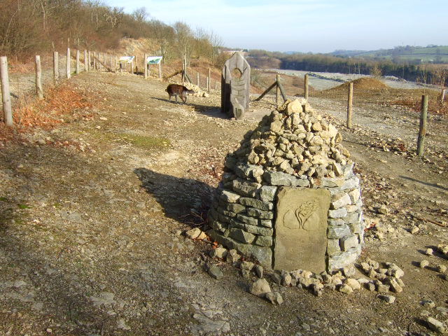
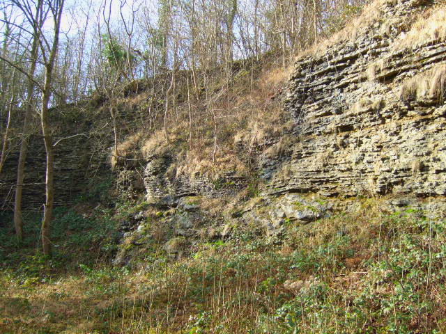
Lea Quarry. Viewpoint is the bridleway along Blakeway Coppice. The north side of the quarry is in the foreground and is connected to the south side by a tunnel (just left of centre) under the B4371.


