Wensum Way
![]()
![]() This route takes you from Gressenhall to Lenwade, passing through the lovely River Wensum Valley in Norfolk.
This route takes you from Gressenhall to Lenwade, passing through the lovely River Wensum Valley in Norfolk.
The trail links with the Nar Valley Way at the western end and with the Marriot's Way at the eastern end. The route runs for about 12 miles on fairly flat footpaths.
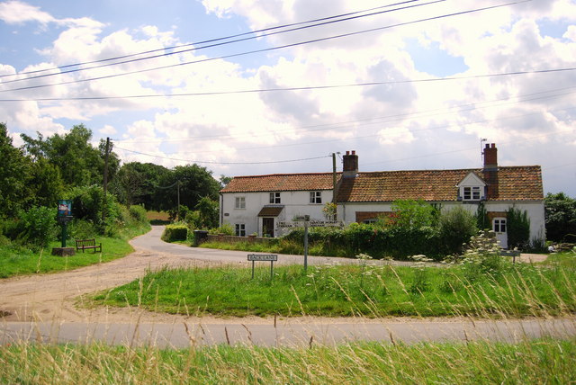
There's much to enjoy with a series of picturesque villages, historic sites and some splendid Norfolk countryside.
The walk starts in Gressenhall at the car park next to Hoe Rough nature reserve. The trail then heads south and then east to Swanton Morley, Elsing and Lyng where you will pass through the wildlife rich Sparham Pools Nature Reserve. This section of the walk is coincident with the Walsingham Way which runs from the historic abbey at Great Walsingham to the city of Norwich.
You continue through Pockthorpe before coming to Lenwade where the trail finishes.
Postcode
NR20 4BQ - Please note: Postcode may be approximate for some rural locationsWensum Way Ordnance Survey Map  - view and print off detailed OS map
Wensum Way Open Street Map  - view and print off detailed map
Wensum Way OS Map  - Mobile GPS OS Map with Location tracking
Wensum Way Open Street Map  - Mobile GPS Map with Location tracking
Pubs/Cafes
There are a couple of good options in the pretty village of Swanton Morley if you are in need of some rest and refreshment. Darby's is a Rustic country pub with a characterful interior including tractor seats as bar stools. They have an extensive menu including a fine Sunday roast. You can find them on Elsing Road with a postcode of NR20 4NY for your sat navs.
There's also the Angel which dates back to 1610 and is Grade II listed. Inside there's roaring fire and a low ceiling with original beams which have English hops hanging from them. The pub also has connections with the ancestors of American president Abraham Lincoln. You can find them at 66 Greengate, NR20 4LX.
In North Elmham there's The King's Head Hotel. The inn includes an unusual collection of hats in the lounge bar and a large garden for warmer days. You can find them on Holt Road with a postcode of NR20 5JB for your sat navs. In the village you could also pay a visit to the ruins of the ancient North Elmham Chapel.
In Lyng there's The Fox to investigate. The classic country pub is over 300 years old and retains traditional elements such as the beamed ceiling, open fire and tiled floor. For brighter days, The Fox has an enclosed garden with lovely views of the church. You can find them at postcode NR9 5AL for your sat navs.
Cycle Routes and Walking Routes Nearby
Photos
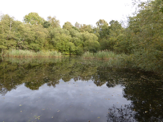
Hoe Rough Nature Reserve, Gressenhall. The concessionary path leading through Hoe Rough forms two loops - one runs along a stream and an adjoining meadow, the other traverses the somewhat higher ground to the east. Unimproved meadows such as these as Hoe Rough Nature Reserve are becoming increasingly rare. A number of old oak trees grow here, one of which is believed to be at least 330 years old. The rough is now continuously grazed by sheep and cattle but the crab apple trees probably originate from the time when pigs foraged here, the seeds having originated from swill fed to them. Hoe Rough Nature Reserve is managed by the Norfolk Wildlife Trust.


