West Burton Falls
![]()
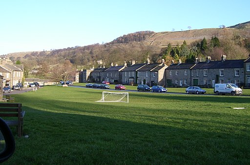
![]() This circular walk visits the delightful Wensleydale village of West Burton before exploring the waterfalls, rivers, countryside and woodland surrounding the settlement. The village is something of a hidden gem of the Yorkshire Dales with a pretty village green surrounded by attractive cottages.
This circular walk visits the delightful Wensleydale village of West Burton before exploring the waterfalls, rivers, countryside and woodland surrounding the settlement. The village is something of a hidden gem of the Yorkshire Dales with a pretty village green surrounded by attractive cottages.
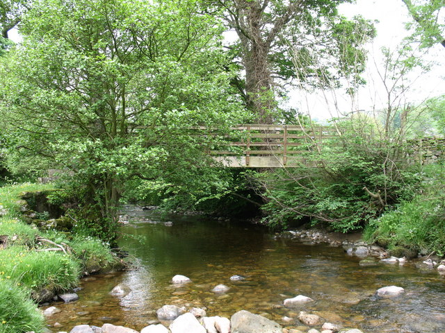
The walk starts on the bridge over the Walden Beck and follows footpaths to the Cauldron Falls. It's a delightful area with a little bridge and a waterside park with lovely views of the rushing falls.
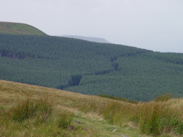
After exploring the falls and taking some photos, you head south along the pretty Walden Beck towards Walden. This section climbs to over 1200ft with wonderful views over Wensleydale and Castle Bolton.
At Walden you turn north, passing through the woodland of Burton Pasture before returning to the village.
West Burton is located just 1.5 miles south of Aysgarth Falls. The falls are considered one of the major attractions of the Yorkshire Dales.
The Herriot Way long distance footpath also starts in Aysgarth village.
The circular route takes you through areas of the Yorkshire Dales associated with the vet and author James Herriot.
Postcode
DL8 4JP - Please note: Postcode may be approximate for some rural locationsWest Burton Falls Ordnance Survey Map  - view and print off detailed OS map
West Burton Falls Open Street Map  - view and print off detailed map
West Burton Falls OS Map  - Mobile GPS OS Map with Location tracking
West Burton Falls Open Street Map  - Mobile GPS Map with Location tracking
Walks near West Burton
- Aysgarth Falls - Enjoy a woodland walk to the spectacular Aysgarth Falls in the Yorkshire Dales National Park
- Herriot Way - This long distance circular route takes you through areas of the Yorkshire Dales associated with the vet and author James Herriot.
The walk begins in the pretty village of Aysgarth in Wensleydale - Redmire - This North Yorkshire Dales village is located in beautiful Wensleydale near Castle Bolton and Leyburn.
- Castle Bolton - Visit the wonderful grounds of the 14th century Bolton Castle before exploring the beautiful countryside surrounding the village.
It's a short walk to the castle from the village of Castle Bolton - Wensleydale - This walk takes you from the village of Wensley, along the River Ure to Redmire Force and the Aysgarth Falls
Pubs/Cafes
The Fox and Hounds is an historic village pub which has its own hidden waterfall. Inside there's a narrow low-beamed bar with imposing stone fireplace along with a separate dining room. They also provide rooms if you would like to stay in the area. You can find them at postcode DL8 4JY for your sat navs.
Dog Walking
The waterside trails and woodland paths make for a fine dog walk. The Fox and Hounds pub mentioned above is also dog friendly.


