West Runton To Sheringham Coastal Walk
1.9 miles (3 km)
![]()
![]() This walk takes you along part of the Peddars Way and Norfolk Coast Path between West Runton and Sheringham.
This walk takes you along part of the Peddars Way and Norfolk Coast Path between West Runton and Sheringham.
It's just under 2 miles, running along a fairly flat, waymarked path between the two settlements.
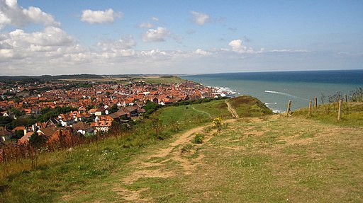
You can start the walk at the public car park on the sea front in West Runton. From here you pick up the trail and head west along the cliff top path and the beach, passing Beeston Regis and the viewpoint at Beeston Bump on the way. From here there are splendid views out to sea and down to Sheringham below.
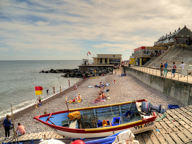
The final section descends into Sheringham where you can enjoy a stroll along the prom and the fine beach.


