West Wittering to East Head Walk
![]()
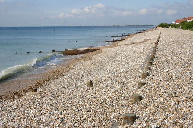
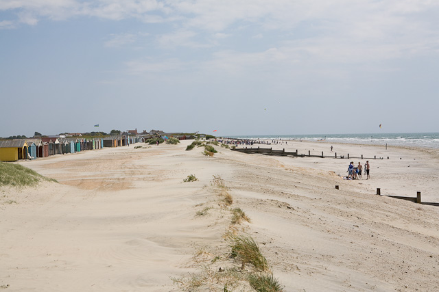
![]() The pretty village of West Wittering has lovely coastal footpaths to try. You can park at the beach car park and then follow paths along the beach and onto the National Trust owned East Head. Here you can stroll through shingle, sandy beach and a delightful sand dune habitat. The area is great for wildlife with skylarks, ringed plover and common seals to look out for. There's also lots of pretty wildflowers and great views over Chichester Harbour to Hayling Island.
The pretty village of West Wittering has lovely coastal footpaths to try. You can park at the beach car park and then follow paths along the beach and onto the National Trust owned East Head. Here you can stroll through shingle, sandy beach and a delightful sand dune habitat. The area is great for wildlife with skylarks, ringed plover and common seals to look out for. There's also lots of pretty wildflowers and great views over Chichester Harbour to Hayling Island.
After exploring the dunes you can head north along the New Lipchis Way to West Itchenor. It's about a 4 mile walk along a pretty coast path with lovely views all the way.
If you would like to extend your walk you could catch the ferry from West Itchenor to Bosham and then explore Chichester Harbour and Thorney Island. You could also continue east along the New Lipchis Way to Birdham where you can visit Chichester Marina. Heading south east takes you to East Wittering, Bracklesham Bay and the Medmerry RSPB Nature Reserve, where there are some excellent wildlife spotting opportunites.
See the Selsey To West Wittering Walk for more details on this area.
Please scroll down for the full list of walks near and around West Wittering and East Head. The detailed maps below also show a range of footpaths, bridleways and cycle paths in the area.
Postcode
PO20 8AU - Please note: Postcode may be approximate for some rural locationsWest Wittering and East Head Ordnance Survey Map  - view and print off detailed OS map
West Wittering and East Head Open Street Map  - view and print off detailed map
West Wittering and East Head OS Map  - Mobile GPS OS Map with Location tracking
West Wittering and East Head Open Street Map  - Mobile GPS Map with Location tracking
Pubs/Cafes
Next to the car park and beach you'll find The Coffee Hut for some refreshments after your walk. They sell a good selection of meals, snacks and treats.
Dog Walking
The beach is a popular place for a dog walk. You are asked to please keep them on leads in the dunes area. The cafe mentioned above is also dog friendly.
Cycle Routes and Walking Routes Nearby
Photos
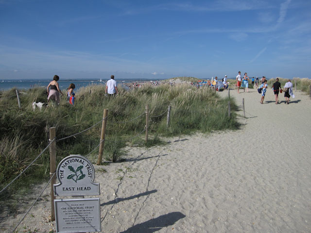
East Head National Trust sign and a large number of people in the dunes at East Head. Areas are roped off to protect the vegetation from trampling and therefore maintain the stabilising influence of the plants.
The Parish Church of St Nicholas, West Itchenor. There was no mention in the Domesday Book of a church at Itchenor but there was probably a small one of timber or stone before the present church was erected. In 1180 Bishop Seffrid II allowed the chapel built by Hugh Esturmy (lord of the manor) in 1175, to be converted into a parish church with its own graveyard. The church of St Nicholas, the patron saint of children and of seafarers, is a rectangular building 50 feet long and 16 feet 6 inches wide with no structural division between the nave and the chancel. Changs in the window arrangement to give extra light were made in the late 14th century and there have been alterations and additions in the 19th century and more recently.


