Weston Turville Reservoir
![]()
![]() This walk visits the Weston Turville Reservoir just south of the Buckinghamshire village of the same name.
This walk visits the Weston Turville Reservoir just south of the Buckinghamshire village of the same name.
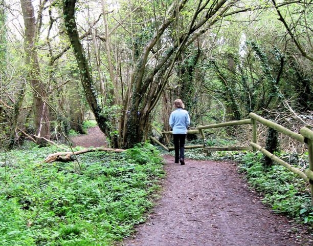
You can follow pleasant footpaths round the water for a distance of just over a mile. It's a lovely spot with easy flat trails and fine views across the still waters of the lake to the surrounding Chiltern Hills. The site is also home to Aylesbury Sailing Club so you can often see sailboats and dinghies on the water.
The reservoir has an interesting history stretching back to 1797 when it was built as a feeder for the Wendover Canal Arm of the Grand Union Canal. You can easily extend your walk by picking up the canal towpath to the east of the lake.
There are also bird hides around the site where you can look out for various wildfowl including the shoveler duck.
Postcode
HP22 5PS - Please note: Postcode may be approximate for some rural locationsWeston Turville Reservoir Ordnance Survey Map  - view and print off detailed OS map
Weston Turville Reservoir Open Street Map  - view and print off detailed map
Weston Turville Reservoir OS Map  - Mobile GPS OS Map with Location tracking
Weston Turville Reservoir Open Street Map  - Mobile GPS Map with Location tracking
Further Information and Other Local Ideas
Head a couple of miles east of the reservoir and you'll find miles of peaceful woodland trails around the expansive Wendover Woods. Here you can enjoy a climb to the high point in the Chilterns at Haddington Hill.
For more walking ideas in the area see the Buckinghamshire Walks page.
Cycle Routes and Walking Routes Nearby
Photos
Swan, cygnets & sails. A swan with four of his or her cygnets on the launching ramp of Aylesbury Sailing Club on the northern shore of Weston Turville reservoir. The swan's mate was paddling about nearby. The yellow dinghy behind them is a Mirror sporting orange sails adding a dash of colour reflected in the water on a beautiful Sunday afternoon.
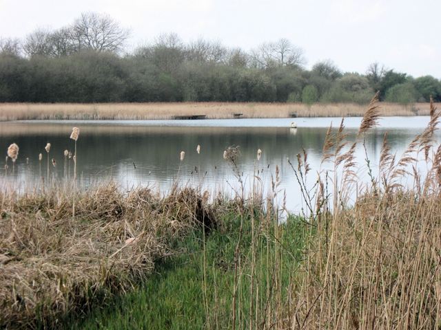
Looking North West from the New Hide, Weston Turville Reservoir. When the canal from Wendover to Tring was being built in 1797 water was taken from the streams flowing towards Aylesbury and to compensate the water millers this reservoir was built to ensure a year round flow of water to the mills. In 1814 the demand for water on the canal was such that a pumping engine was installed and this was used for about 25 years. By this time the canal company had brought up the milling rights and since then the reservoir has no longer been used to supply water to the canal or water mills. For this reason the water level is now permanently kept at a low level compared with the height of the earth dam.
British Waterways have overall responsibility for the reservoir. Aylesbury Sailing Club have a boathouse on the north east bank and the body of the lake is used for sailing. Berks, Beds & Oxon Wildlife Trust manage the surrounding area, which includes woodland round the edges and extensive reed beds, and the are two bird hides. The reservoir is a site of special scientific interest. Prestwood & District Angling Club manage the fishing.
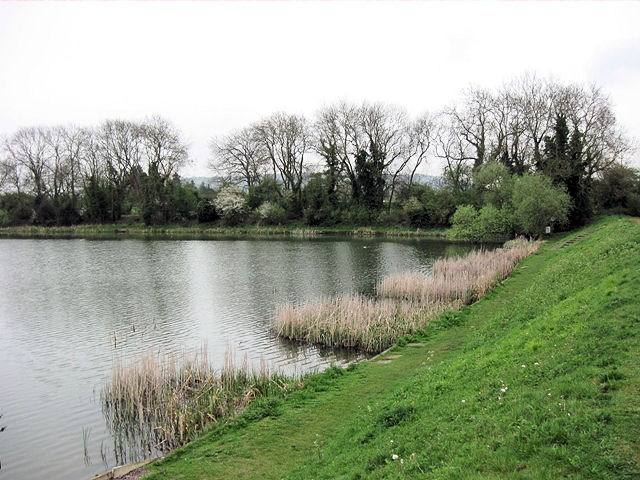
The South West Bank. A private footpath runs along at water level leading to fishing platforms in the reed beds. There is a higher level footpath running through the trees.


