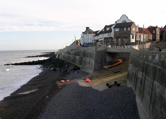
Weybourne To Sheringham Walk
![]()
![]() This walk takes you along a section of the Peddars Way and Norfolk Coast Path from Weybourne To Sheringham.
This walk takes you along a section of the Peddars Way and Norfolk Coast Path from Weybourne To Sheringham.
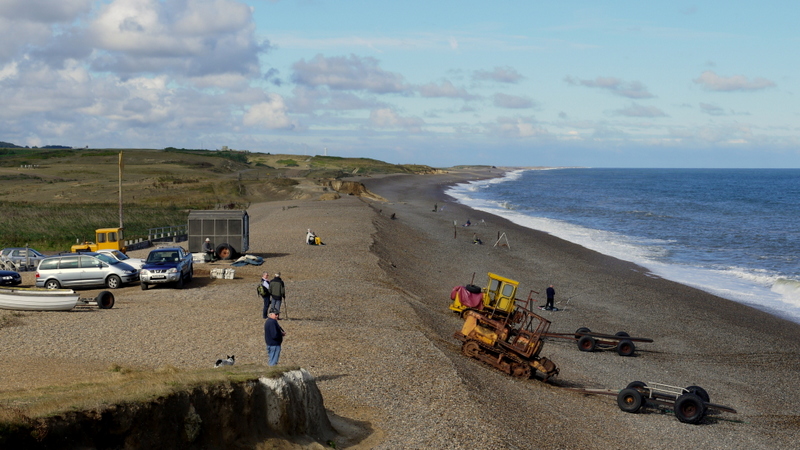
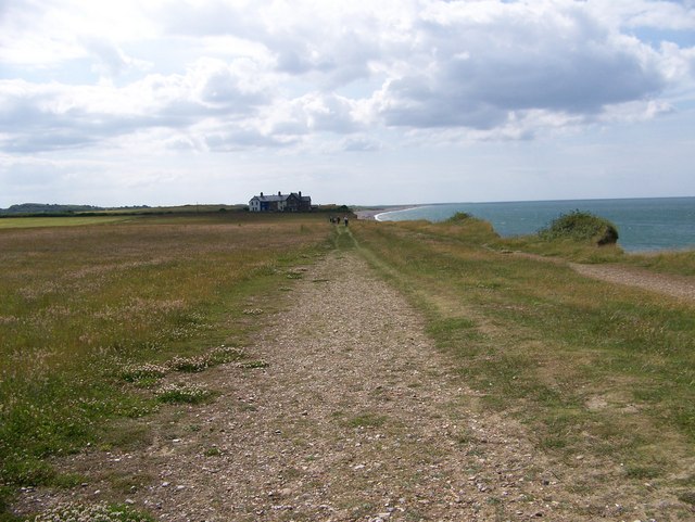
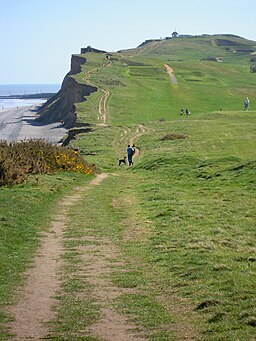
The walk runs for a distance of just under 4 miles along an eroding cliff top path on the North Norfolk coast. Along the way there are some splendid sea views, pebbly beaches and the Sheringham Golf course to see. The route also skirts the edge of the expansive Sheringham Park where you could extend your outing on one of the many woodland and parkland trails.
If you continue east from Sheringham you could visit West Runton where you can enjoy a climb to Beacon Hill, the highest point in the county of Norfolk.
Weybourne To Sheringham Ordnance Survey Map  - view and print off detailed OS map
Weybourne To Sheringham Open Street Map  - view and print off detailed map
Weybourne To Sheringham OS Map  - Mobile GPS OS Map with Location tracking
Weybourne To Sheringham Open Street Map  - Mobile GPS Map with Location tracking
Cycle Routes and Walking Routes Nearby
Photos
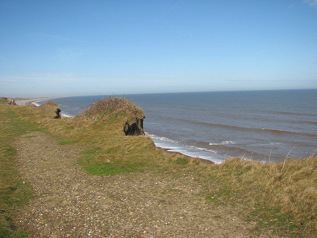
Eroding clifftops. Erosion is evident all along the coastline, here the track denoting the Norfolk Coast Path/Peddars Way is slowly falling into the sea; the waves of the North Sea undermine the cliffs and cause large sections to tumble onto the beaches. About 2.5 metres (in some sections up to 5 metres) of headland is lost every year.
