Weybridge River Walk
![]()
![]() A circular riverside walk around the town of Weybridge, visiting Walton on Thames and Chertsey.
A circular riverside walk around the town of Weybridge, visiting Walton on Thames and Chertsey.
Start the walk at the car park off Walton Lane and then join the riverside path, following it east past Desborough Island to Walton Bridge. Cross the river here and follow the trail through the Lower Halliford area of Shepperton.
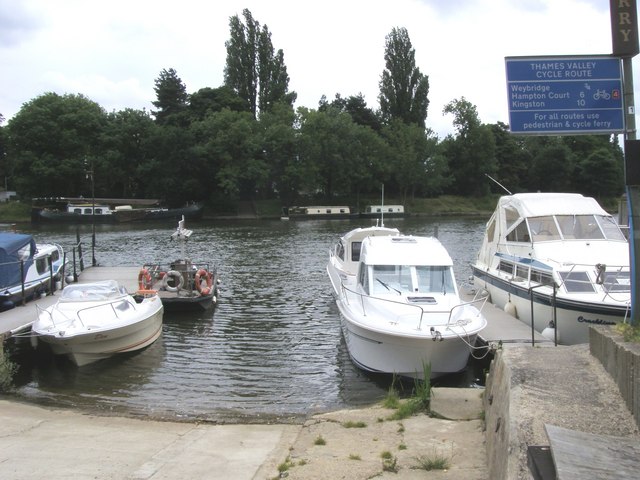
You continue west past Shepperton Lock and the Shepperton to Weybridge Ferry before coming to Lock Island. Here you will find a weir and a stretch of open ground where refreshments are served, making the island a popular place to visit or stop and rest.
Continue on the trail past Dumsey Meadow to Chertsey Bridge where you cross the river. Follow public footpaths through Chertsey Meads and you can enjoy views of the River Bourne.
The final section takes you along the Rivery Wey passing Hamhaugh Island before returning to the car park.
This walk uses part of the Thames Path long distance trail. You could extend your walk by following the path north to Staines or east towards Sunbury.
The River Wey Navigation trail also starts in Weybridge. You can follow the path south to New Haw and Guildford.
Weybridge Ordnance Survey Map  - view and print off detailed OS map
Weybridge Open Street Map  - view and print off detailed map
*New* - Walks and Cycle Routes Near Me Map - Waymarked Routes and Mountain Bike Trails>>
Weybridge OS Map  - Mobile GPS OS Map with Location tracking
Weybridge Open Street Map  - Mobile GPS Map with Location tracking
Further Information and Other Local Ideas
The circular Shepperton Walk visits Old Shepperton where there are some fine old buildings surrounding an attractive square. There's also a noteworthy 15th century pub to visit on the walk.
For more walking ideas in the area see the Surrey Walks page.


