Whitewebbs Park
![]()
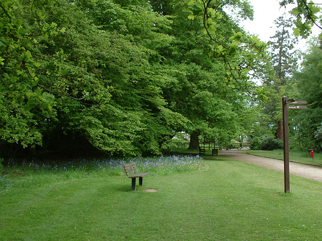
![]() This pretty country park in Enfield has some nice footpaths to follow around the parkland and woodland. Other features include an ornamental pond, small lakes and the Cuffley Brook which runs through the southern part of the park.
This pretty country park in Enfield has some nice footpaths to follow around the parkland and woodland. Other features include an ornamental pond, small lakes and the Cuffley Brook which runs through the southern part of the park.
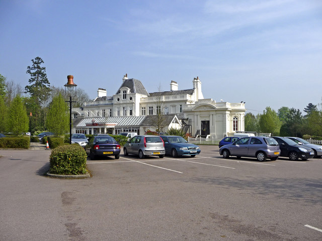
You can park at the car park at Whitewebbs Road at the northern end of the park to start your walk. From here it's a short stroll to the large pond where there are picnic tables. Just beyond there is Whitewebbs House where there is a nice cafe. Other paths then lead towards the lake in the south western corner and through Whitewebbs Wood before returning to the car park.
It's easy to extend your walk if you have time. The London Loop runs right through the park so you can pick this up and head to Clay Hill where you can enjoy a stroll along the Turkey Brook to Enfield Wash. Keep heading east and you will soon reach Lee Valley Park where you can enjoy a waterside stroll along King George's Reservoir.
Heading west along the London Loop will soon bring you to Trent Country Park. Here you'll find 413 acres of rolling meadows, brooks, lakes and ancient woodland to explore on foot or by bike.
Postcode
EN2 9JW - Please note: Postcode may be approximate for some rural locationsWhitewebbs Park Ordnance Survey Map  - view and print off detailed OS map
Whitewebbs Park Open Street Map  - view and print off detailed map
Whitewebbs Park OS Map  - Mobile GPS OS Map with Location tracking
Whitewebbs Park Open Street Map  - Mobile GPS Map with Location tracking
Further Information and Other Local Ideas
The Enfield Walk starts from the nearby town. It visits the park before heading to the historic Forty Hall and the New River Path where you can enjoy a waterside stroll along the man made river.
For more walking ideas in the area see the London Walks page.


