Woody Bay
![]()
![]() Explore this peaceful wooded cove and enjoy waterfalls, woodland trails and splendid views of the Bristol Channel. Woody Bay is located on the coast of the Exmoor National Park. The Hanging Water stream runs through the woodland with lovely waterfalls and interesting flora and fauna to enjoy.
Explore this peaceful wooded cove and enjoy waterfalls, woodland trails and splendid views of the Bristol Channel. Woody Bay is located on the coast of the Exmoor National Park. The Hanging Water stream runs through the woodland with lovely waterfalls and interesting flora and fauna to enjoy.
This walk starts at the car park on Sir Robert's Path and takes you through the woodland to the pretty little bay with its secluded pebble beach.
If you would like to extend your walking in the area then you could head west along the coast to the lovely Heddon Valley.
Here you will find riverside walking trails and the imposing cliffs of Heddon's Mouth. You could also start the walk from here as shown in the video below.
If you head east then you will come to the spectacular Valley of the Rocks where there are a number of interesting geological features to see.
Postcode
EX31 4QX - Please note: Postcode may be approximate for some rural locationsWoody Bay Ordnance Survey Map  - view and print off detailed OS map
Woody Bay Open Street Map  - view and print off detailed map
Woody Bay OS Map  - Mobile GPS OS Map with Location tracking
Woody Bay Open Street Map  - Mobile GPS Map with Location tracking
Explore the Area with Google Street View 
Cycle Routes and Walking Routes Nearby
Photos
North Devon coast at Woody Bay. In the foreground Martinhoe Manor sits in a clearing in the woods. In the background are The Valley of the Rocks and Foreland Point.
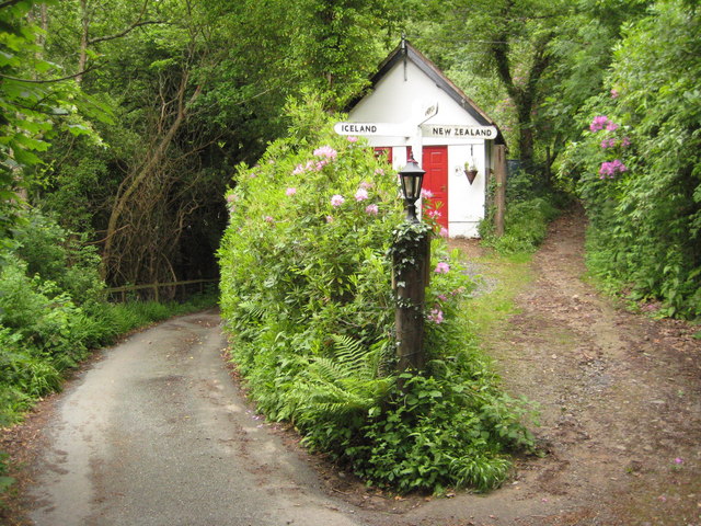
Woody Bay cottages, approach path and lime kilns. A "road" descends as far as the cottages but then it's a steep path to the beach.


