Broxa Forest
![]()
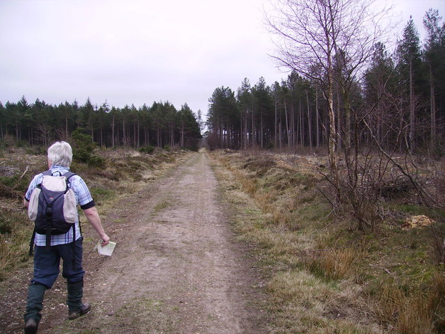
![]() Visit this large forest on the North York Moors and enjoy miles of good woodland trails. The woods are in an elevated position so there are great views across the moors and Harwood Dale from the escarpment edge. There's good trails for mountain bikers with the Moors to Sea cycle route passing through the woods. Broxa Forest is also popular with bird watchers looking for the elusive nightjar.
Visit this large forest on the North York Moors and enjoy miles of good woodland trails. The woods are in an elevated position so there are great views across the moors and Harwood Dale from the escarpment edge. There's good trails for mountain bikers with the Moors to Sea cycle route passing through the woods. Broxa Forest is also popular with bird watchers looking for the elusive nightjar.
This circular route starts at the Reasty Hill Top car park and takes you along bridleways in the northern and central section of the forest. Park at the car park at the north eastern part of the forest and then pick up the trail west towards Ward Hill. You can extend your outing by continuing west towards Langdale End and Langdale Forest as shown in the video below. If you keep heading west you can also visit Hingles Wood and the River Derwent which runs past the western end of the woods. Heading south from the car park will take you along Whisper Dales Beck to Broxa.
If you head north you will come to the pretty village of Harwood Dale with its old church and the Harwood Dale Beck. Harwood Dale Forest lies just to the north of the village and has nearly 2000 acres of woodland trails to try.
Postcode
YO13 0LE - Please note: Postcode may be approximate for some rural locationsBroxa Forest Ordnance Survey Map  - view and print off detailed OS map
Broxa Forest Open Street Map  - view and print off detailed map
Broxa Forest OS Map  - Mobile GPS OS Map with Location tracking
Broxa Forest Open Street Map  - Mobile GPS Map with Location tracking
Explore the Area with Google Street View 
Further Information and Other Local Ideas
Just to the south there's Wykeham Forest to explore. The Raptor viewpoint here overlooks Troutsdale and is a popular spot for birdwatchers looking for birds of prey such as Buzzards and Crossbills. The circular Hackness Walk visits the forest from the nearby village. You can follow a pleasant riverside path along the River Derwent from the settlement to the forest. The boardwalk at Forge Valley Woods and the picturesque village of West Ayton are also near here.
For more walking ideas in the area see the North York Moors Walks page.


