Haresfield Beacon Walk
![]()
![]() Enjoy woodland trails and wonderful views over the Severn Vale and the Cotswolds on this circular walk near Stroud. There are miles of walking and cycling trails on which to explore the large estate. On the way you will pass wildflower meadows, an Iron Age hill fort and the Bronze Age Long Barrow of Haresfield Beacon.
Enjoy woodland trails and wonderful views over the Severn Vale and the Cotswolds on this circular walk near Stroud. There are miles of walking and cycling trails on which to explore the large estate. On the way you will pass wildflower meadows, an Iron Age hill fort and the Bronze Age Long Barrow of Haresfield Beacon.
This walk starts at the car park and follows the Cotswold Way National Trail through Standish Wood. You pass the Long Barrow and Standish Quarry before heading through the countryside to Oxlynch. The path then passes Vinegar Hill and Ring Hill before reaching the topograph where you can enjoy splendid views. From the topograph it is a short walk back to the car park and the finish point.
The area is superb for interesting flora and fauna. Look out for bluebells in Standish woods and orchids and butterflies in the limestone grasslands. You may also see buzzards and kestrels from the viewpoints.
The whole of this route is for walkers but much of it is suitable for mountain bikers too.
If you would like to continue your walking in this beautiful area then you could head south of Stroud and visit Rodborough Common and Woodchester Park for more great walking trails. You could also pick the Cotswold Canals Walk and enjoy waterside walking along the Stroudwater canal through Stroud.
Postcode
GL10 3ES - Please note: Postcode may be approximate for some rural locationsHaresfield Beacon Ordnance Survey Map  - view and print off detailed OS map
Haresfield Beacon Open Street Map  - view and print off detailed map
Haresfield Beacon OS Map  - Mobile GPS OS Map with Location tracking
Haresfield Beacon Open Street Map  - Mobile GPS Map with Location tracking
Pubs/Cafes
The Beacon Inn is conveniently located just to the west of the hill. The walker friendly pub does good food and has a nice garden to relax in on warmer days. You can find it at a postcode of GL10 3DX for your sat navs.
Dog Walking
The hill and surrounding woodland make for a great dog walk and you can take them of leads too. The Beacon pub mentioned above is also dog friendly.
Cycle Routes and Walking Routes Nearby
Photos
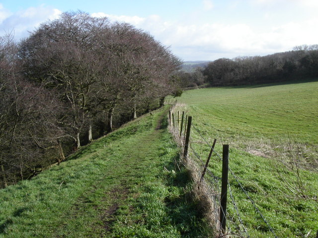
This footpath ascends Haresfield Beacon from the south, Vinegar Hill is on the left and Haresfield Beacon is behind the oak tree.
Vinegar Hill. Vinegar hill lies on the lower slopes of Haresfield Beacon where the Cotswold Way path travels by.


