Rudyard Lake
![]()
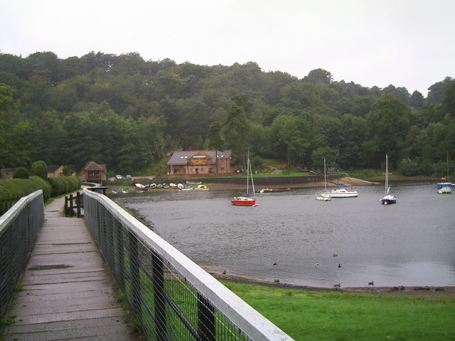
![]() Enjoy a cycle or walk around this large lake in the Staffordshire Moorlands near Leek. Cyclists can cycle the whole of the route apart from a section around the north western area where you need to dismount while crossing private property. The route starts and ends at the visitor centre at the southern end of the lake. It follows good paths along the shoreline and through several long woodland sections, making use of the Staffordshire Way along the western side of the water.
Enjoy a cycle or walk around this large lake in the Staffordshire Moorlands near Leek. Cyclists can cycle the whole of the route apart from a section around the north western area where you need to dismount while crossing private property. The route starts and ends at the visitor centre at the southern end of the lake. It follows good paths along the shoreline and through several long woodland sections, making use of the Staffordshire Way along the western side of the water.
The lake is a great area for wildlife spotting. Look out for Snipe, Redwind and Goldeneye Drake on the water.
If you'd like to continue your exercise then you could head to the nearby Tittesworth Reservoir using the waymarked Staffordshire Moorlands Walks.
Postcode
ST13 8XB - Please note: Postcode may be approximate for some rural locationsPlease click here for more information
Rudyard Lake Ordnance Survey Map  - view and print off detailed OS map
Rudyard Lake Open Street Map  - view and print off detailed map
Rudyard Lake OS Map  - Mobile GPS OS Map with Location tracking
Rudyard Lake Open Street Map  - Mobile GPS Map with Location tracking
Pubs/Cafes
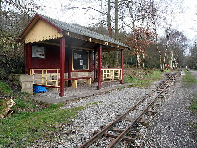
There is a cafe located at the Activity centre where you can enjoy a wide selection of hot and cold meals and snacks overlooking the lake. There's nice outdoor seating here with views over the lake. There's also the Platform 2 cafe at the steam railway train station.
Dog Walking
The lake is a popular spot for dog walking and you will probably see other owners on your outing. Dogs are also welcome at the cafe at the Dam end.


