Hedgehope Hill
![]()
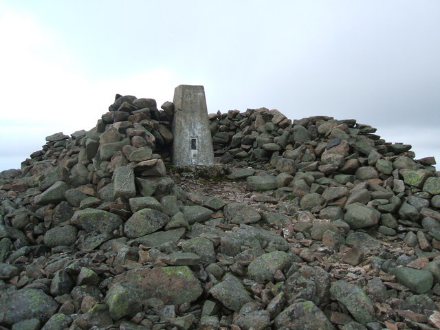
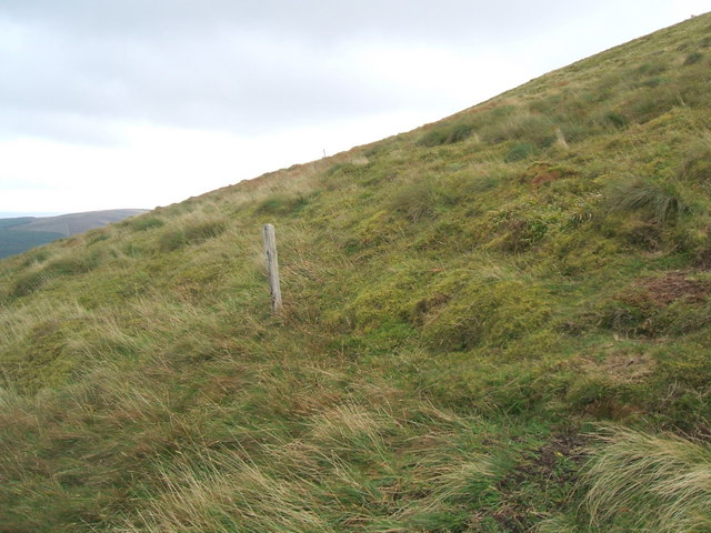
![]() Climb to the 714 metres (2,343 ft) summit of Hedgehope Hill in the Cheviots on this challenging circular walk. The walk begins at the parking area at Langleeford by the Harthope Burn. You then ascend towards Housey Crags and Long Crags and onto the summit where there are fabulous views towards the coast and Lindisfarne Castle. You can descend the same way or head towards Harthope Linn waterfall where you can follow the Harthope Burn back to Langleeford.
Climb to the 714 metres (2,343 ft) summit of Hedgehope Hill in the Cheviots on this challenging circular walk. The walk begins at the parking area at Langleeford by the Harthope Burn. You then ascend towards Housey Crags and Long Crags and onto the summit where there are fabulous views towards the coast and Lindisfarne Castle. You can descend the same way or head towards Harthope Linn waterfall where you can follow the Harthope Burn back to Langleeford.
If you'd like to continue your walking in the area then you could climb the The Cheviot and Windy Gyle or pick up the Pennine Way.
The hill is located just to the south of the popular town of Wooler, which is a great base for walkers. Here you can visit the woodland of Wooler Common and enjoy a climb Humbleton Hill with its Iron Age Hillfort.
Postcode
NE71 6RG - Please note: Postcode may be approximate for some rural locationsHedgehope Hill Ordnance Survey Map  - view and print off detailed OS map
Hedgehope Hill Open Street Map  - view and print off detailed map
Hedgehope Hill OS Map  - Mobile GPS OS Map with Location tracking
Hedgehope Hill Open Street Map  - Mobile GPS Map with Location tracking
Pubs/Cafes
Head into the nearby town of Wooler and there's a good range of pubs and cafes. The Anchor Inn is a good choice with a friendly atmosphere and very good food at reasonable prices. You can find it on Cheviot Street with a postcode of NE71 6LN. It's also dog friendly if you have your canine friend with you.
Further Information and Other Local Ideas
Head a short distance south of the hill and you can visit one of the highlights of the area at Linhope Spout. The waterfall is an impressive 60 foot (18m) chute of water landing into a deep plunge pool below.
To the east of the hill there's a cluster of interesting sites to visit. You can enjoy peaceful woodland trails in Hepburn Woods and climb to the Iron Age Hill Fort at Ros Castle for excellent views over the area. The splendid Chillingham Castle is also near here. The 13th century castle is said to be the most haunted in Britain. It's surrounded by gardens, lakes and fountains with easy footpaths to explore on.
A few miles to the north there's another popular climb to Yeavering Bell. There's a particularly large Iron Age Hillfort and more fine views from the summit of this noteworthy hill. Near the fort there's the beautiful College Valley where you can enjoy waterside trails along the College Burn to the pretty Hethpool Linn waterfall. Both of these sites are just over 4 miles north of the hill.
To the south west there's Davidson's Linn to visit. The picturesque and remote waterfall is situated on the Usway Burn and a lovely spot for a picnic and a paddle.
For more walking ideas in the area see the Cheviots Walks and Northumberland Walks pages.
Cycle Routes and Walking Routes Nearby
Photos
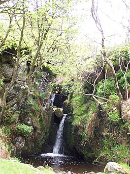
Harthope Linn. Waterfall in Langleeford Vale at the foot (south) of The Cheviot. These pretty falls are located about a mile north west of the hill summit.
Elevation Profile


