Hockley Woods
![]()
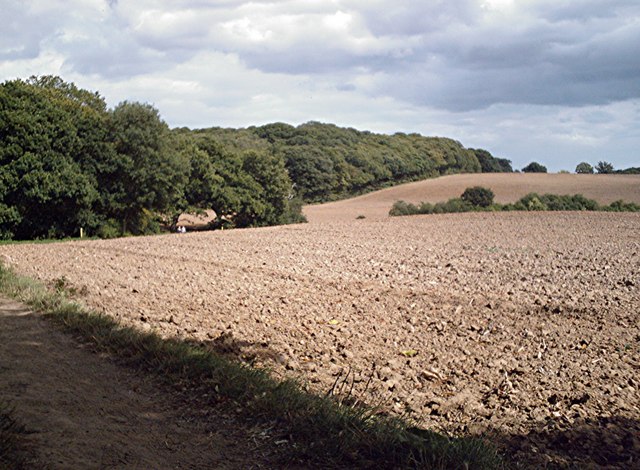
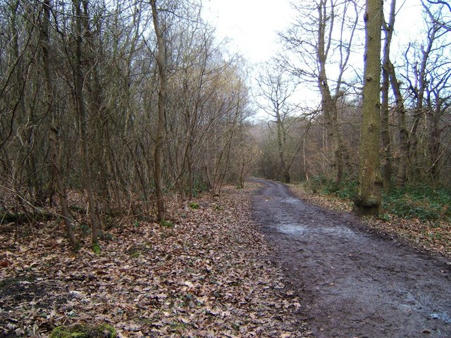
![]() Follow the peaceful walking trails through this large area of mixed woodland near Rayleigh in Essex. There's a car park at the northern tip of the woods just off Main Road. From here you can pick up the waymarked trails. In the wood you'll find Oak and sweet chestnut trees, streams and wildflowers including three species of orchid. In the springtime there are lovely carpets of bluebells to enjoy. Look out for wildlife including various woodland birds and the protected heath fritillary butterfly.
Follow the peaceful walking trails through this large area of mixed woodland near Rayleigh in Essex. There's a car park at the northern tip of the woods just off Main Road. From here you can pick up the waymarked trails. In the wood you'll find Oak and sweet chestnut trees, streams and wildflowers including three species of orchid. In the springtime there are lovely carpets of bluebells to enjoy. Look out for wildlife including various woodland birds and the protected heath fritillary butterfly.
The Saffron Trail long distance footpath runs past the woods so you can pick this up to extend your walk. To visit Hockley from nearby Rochford you could follow the Roach Valley Way west through the countryside to the woods. This will take you past the pretty Cherry Orchard Jubilee Country Park with its lake, woodland and grassland covering 200 acres.
Postcode
SS5 4RN - Please note: Postcode may be approximate for some rural locationsPlease click here for more information
Hockley Woods Ordnance Survey Map  - view and print off detailed OS map
Hockley Woods Open Street Map  - view and print off detailed map
Hockley Woods OS Map  - Mobile GPS OS Map with Location tracking
Hockley Woods Open Street Map  - Mobile GPS Map with Location tracking
Pubs/Cafes
The Bull Inn is conveniently located, right on the edge of the woods. It's a historic pub of some note, dating from the 16th century and Grade II listed. The Bull connects the lovely woodland walks of Hockley with the rolling landscape of the Crouch River Valley to the north. There's a cosy olde worlde interior and outside there's a lovely garden to relax in on finer days. You can find the pub on the northern side of the woods at a postcode of SS5 4RN for your sat navs.
Dog Walking
The woods are a great place for a dog walk with miles of nice paths to explore.
Further Information and Other Local Ideas
Just to the north you can visit Battlesbridge and South Woodham Ferrers where you can explore the riverside Marsh Farm Country Park. Further west is Wickford where you can visit the Shotgate Thicket Nature Reserve and the pretty Wick Country Park.
If you follow the Roach Valley Way east it will take you to the nearby village of Paglesham. The village is a pleasant place for a stroll with trails along the River Crouch and Pagelsham Creek. There's also good views over to to the RSPB nature reserve on Wallasea Island and a fine 17th century pub for refreshments afterwards.
For more walking ideas in the area see the Essex Walks page.


