Oxford Green Belt Way
![]()
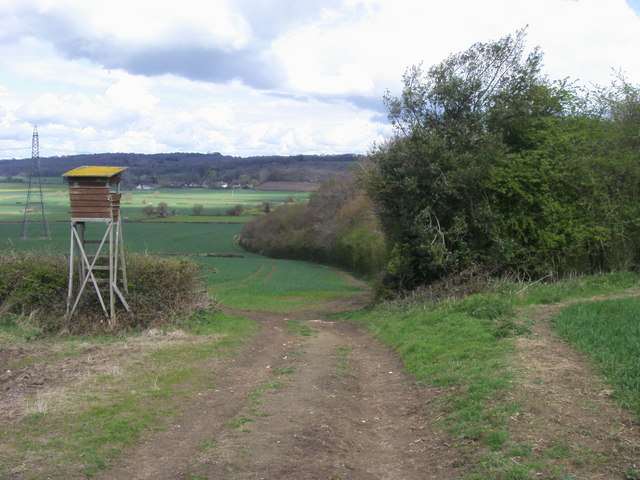
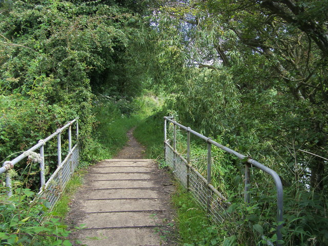
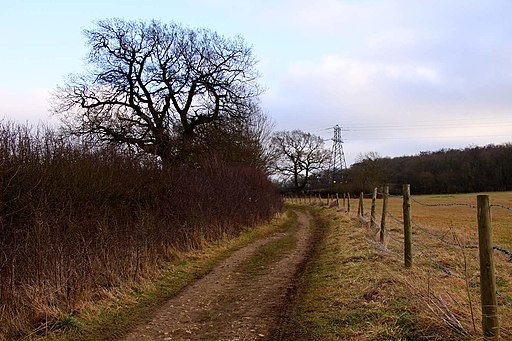
![]() The Oxford Green Belt Way was created by CPRE Oxfordshire to celebrate its 75th anniversary and 50 years of Oxford's Green Belt. The circular walk takes you through some lovely Oxfordshire countryside and historic villages, with peaceful waterside sections along the River Thames, the River Cherwell and the Oxford Canal.
The Oxford Green Belt Way was created by CPRE Oxfordshire to celebrate its 75th anniversary and 50 years of Oxford's Green Belt. The circular walk takes you through some lovely Oxfordshire countryside and historic villages, with peaceful waterside sections along the River Thames, the River Cherwell and the Oxford Canal.
The walk begins on the outskirts of Oxford and visits Horspath, Garsington, Abingdon, Kidlington and Beckley. There are excellent views of Oxford’s Dreaming Spires, Otmoor, Foxcombe Hill and Wytham Woods.
Attractions on the route include Harcourt Arboretum at Nuneham Courtenay. Here you will find a 10-acre woodland and a 37-acre meadow full of wild flowers.
The route passes the RSPB nature reserve at Otmoor where you can enjoy a nature trail and look out for thousands of wildfowl.
Near Horspath you will pass through Shotover Country Park with its ancient woodland, flowery meadows, marshes, ponds and bracken-covered slopes. You can climb Shotover Hill for wonderful views of the surrounding countryside.
There are also lovely waterside stretches along the River Thames, the Oxford Canal and around Farmoor Reservoir.
For those interested in history the 12th century ruined abbey at Godstow is also of note.
For more information & how to order the guidebook click here.
Oxford Green Belt Way Ordnance Survey Map  - view and print off detailed OS map
Oxford Green Belt Way Open Street Map  - view and print off detailed map
Oxford Green Belt Way OS Map  - Mobile GPS OS Map with Location tracking
Oxford Green Belt Way Open Street Map  - Mobile GPS Map with Location tracking
Pubs/Cafes
The Abingdon Arms is located just south of the Otmoor Nature reserve in Beckley. It's a great option for some refreshments on the walk. The beer garden is probably the best in the country with fabulous views over the reserve from its elevated position. It's split into a terraced upper deck and lower deck making it an ideal place to relax on a warm day. You can find the pub in the little village of Beckley on the High St with a postcode of OX3 9UU for your sat navs.
Near Farmoor Reservoir you will pass close to Eynsham where there are some good options for a pit stop:-
The Queens Head serves great food including excellent pizzas from their wood fired pizza oven. You can sit outside in their beautiful beer garden if the sun is shining. The pub is located on Queen Street at postcode OX29 4HH.
The Talbot Inn dates from the 18th century and includes exposed beams & a riverside deck. You can find them on Oxford Road at postcode OX29 4BT. Both these inns are dog friendly.
The historic market town of Eynsham is also well worth exploring with several 16th and 17th buildings, plus the site of a medieval abbey to see.
Cycle Routes and Walking Routes Nearby
Elevation Profile

Video
GPS Files
GPX File
Oxford Green Belt Way.gpx (On Desktop:Right Click>Save As. On Ipad/Iphone:Click and hold>Download Linked File)NB GPS file for this route only details route start - route is waymarked from there in


