Rivelin Dams Reservoirs
![]()
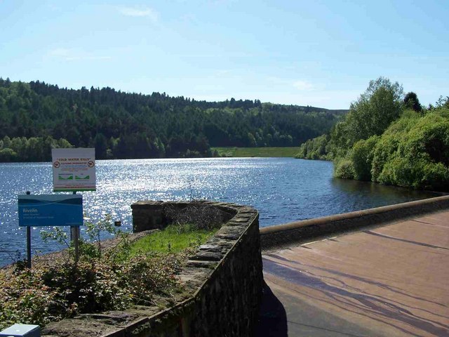
![]() Visit these two pretty reservoirs near Sheffield and enjoy a walk through the surrounding woodland on this walk on the edge of the Peak District. The walk starts at the car park at the eastern end of the lower reservoir where there is also a nice picnic area. You then follow the Wyming Brook Drive track through the woodland to the south of the reservoirs.
Visit these two pretty reservoirs near Sheffield and enjoy a walk through the surrounding woodland on this walk on the edge of the Peak District. The walk starts at the car park at the eastern end of the lower reservoir where there is also a nice picnic area. You then follow the Wyming Brook Drive track through the woodland to the south of the reservoirs.
To extend your walking in the area you could follow the Wyming Brook to the nearby Redmires Reservoir.
The brook links the two reservoirs and has a nice walking trail through a nature reserve with lots of interesting flora and fauna. At Redmires you'll find three interestingly shaped reservoirs with a great circular walking trail with woodland paths, climbs across the Peak District Moors and a wide variety of wildfowl and waders to look out for on the water.
To continue your walking pick up the delightful Rivelin Valley Nature Trail to the west. The nature trail runs along the side of the rushing river which is surrounded by attractive woodland.
Rivelin Dams Ordnance Survey Map  - view and print off detailed OS map
Rivelin Dams Open Street Map  - view and print off detailed map
Rivelin Dams OS Map  - Mobile GPS OS Map with Location tracking
Rivelin Dams Open Street Map  - Mobile GPS Map with Location tracking
Explore the Area with Google Street View 
Pubs/Cafes
The Three Merry Lads pub is located just a short distance to the south east of the site. It's a great place for refreshments with a good menu and a nice beer garden with lovely views of the surrounding countryside. The fine Georgian pub can be found about half a mile from the reservoirs at 610 Redmires Road with a postcode of S10 4LJ.
Dog Walking
The reservoirs and the surrounding woodland are a nice place for a dog walk and the Three Merry Lads mentioned above is also dog friendly.
Further Information and Other Local Ideas
The reservoir is located very close to one of the highlights of the Peak District at Stanage Edge. If you head south west, past Redmires Reservoirs and across Hallam Moors you will come to the Edge where there are interesting rock formations and wonderful views over the area.
The circular walk from Lodge Moor visits the dams from the car park just to the east. The route also visits Wyming Brook and Redmires Reservoir.
Cycle Routes and Walking Routes Nearby
Photos
The lower of two reservoirs - the dam for the upper one is visible at the far end. There is a thin skim of ice today which was gone by the evening.
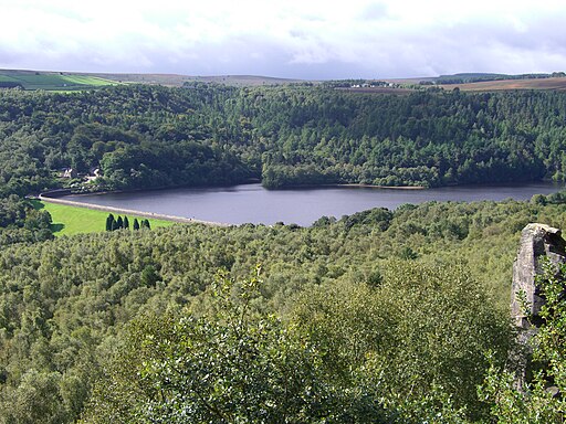
There are two Rivelin Reservoirs, Upper and Lower. The lower was built in 1845 and the upper three years later. Locally they are known as Rivelin Dams. This photograph is taken from the dam wall of the lower reservoir, just by the overflow. The grass covered dam wall of the upper reservoir can be seen in the centre of the picture.


