Wintersett Reservoir
![]()
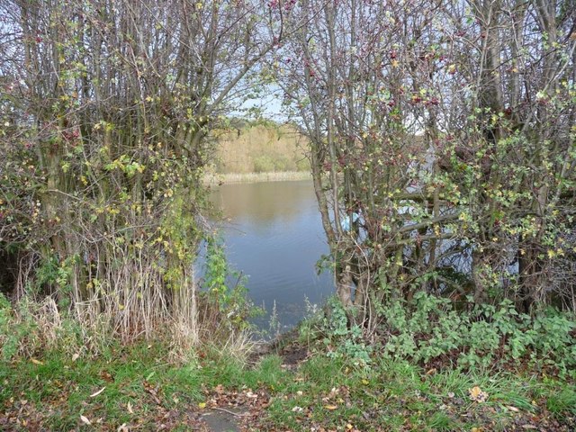
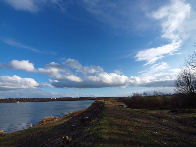
![]() This pretty reservoir near Wakefield has a nice walking trail running along the western side of the water. The lake is located close to the village of Ryhill, just a few miles south east of Wakefield town centre.
This pretty reservoir near Wakefield has a nice walking trail running along the western side of the water. The lake is located close to the village of Ryhill, just a few miles south east of Wakefield town centre.
There's a car park at the northern end of the reservoir where you can start your walk. The trail runs through woodland passing the adjacent Cold Hiendley Reservoir on the way. There's great views across the water to the lovely surrounding Yorkshire countryside.
It's easy to extend your walk by visiting Anglers Country Park just north of Wintersett. Here you'll find a large lake with lots of wildlife to look out for on the water. If you head west you can head through Haw Park Wood and pick up the Barnsley Canal. The reservoir was actually built in 1854 to feed the canal.
Postcode
WF4 2EE - Please note: Postcode may be approximate for some rural locationsWintersett Reservoir Ordnance Survey Map  - view and print off detailed OS map
Wintersett Reservoir Open Street Map  - view and print off detailed map
Wintersett Reservoir OS Map  - Mobile GPS OS Map with Location tracking
Wintersett Reservoir Open Street Map  - Mobile GPS Map with Location tracking
Pubs/Cafes
Head to the Anglers Retreat for a rest and some refreshments after your walk. The friendly country pub has a good menu and a nice garden to sit out in on warmer days. The Anglers was names Pub of the Year 2013 Runner-Up. You can find it a short stroll to the north of the lake on Ferry Top Lane with a postcode of WF4 2PY for your sat navs.
Dog Walking
The area is good for dog walking and the Anglers Retreat mentioned above is also dog friendly.
Further Information and Other Local Ideas
Less than 2 miles to the west of the reservoir you'll find Newmillerdam Country Park. There's a nice lake and woodland trails to be found here.
Just to the north east the National Trust's Nostell Priory is well worth a visit. There's miles of trails around the parkland and woodland at this historic site.
The popular Wakefield Wheel Cycle Route passes the reservoir. The 38 mile circular route visits several of the local highlights, using a waymarked trail. It's a great way of exploring the rivers, canals, parks, woods, lakes and countryside around the town.


