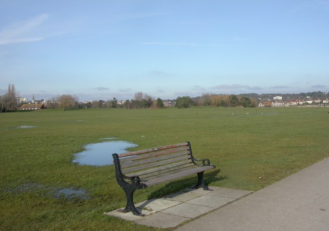
Baiter Park, Whitecliff Park and Parkstone Bay
![]()
![]() Enjoy a cycle or walk through this harbourside park in Poole. The route follows a nice surfaced path along the coast from Baiter Park to Whitecliff Park with great views over Parkstone Bay to Brownsea Island and the Purbeck Hills. It follows National Cycle Route 25and is suitable for families looking for a traffic free cycle ride or an easy coastal walk.
Enjoy a cycle or walk through this harbourside park in Poole. The route follows a nice surfaced path along the coast from Baiter Park to Whitecliff Park with great views over Parkstone Bay to Brownsea Island and the Purbeck Hills. It follows National Cycle Route 25and is suitable for families looking for a traffic free cycle ride or an easy coastal walk.
The route starts from the Baiter car park and heads east along the waterside path. You'll see lots of sailboats in the water as you make your way to Whitecliff
rside Park where you'll pass the marina. There's also great views towards the Purbeck Hills and lots of birdlife to look out for on the water.
You can extend your outing by heading west to Poole Quay and continuing to Holes Bay and the lovely Upton Country Park. Also nearby is Poole Park which has a large boating lake and a miniature railway.
If you head to the coast you can try the Bournemouth to Poole Coastal Walk which starts at Poole Head.
The Poole Harbour Trail passes through the park. The 40 mile circular walk is a great way to explore the many highlights surrounding the significant harbour.
Postcode
BH15 1UY - Please note: Postcode may be approximate for some rural locationsBaiter Park Ordnance Survey Map  - view and print off detailed OS map
Baiter Park Open Street Map  - view and print off detailed map
Baiter Park OS Map  - Mobile GPS OS Map with Location tracking
Baiter Park Open Street Map  - Mobile GPS Map with Location tracking
Explore the Area with Google Street View 
Pubs/Cafes
There's a handy kiosk in the car park at Baiter which sells a variety of snacks and drinks. There's another one in the Whitecliff car park at the other end of the route.
Dog Walking
Baiter is a great place for dog walking with wide lawns next to the footpaths where your dog can run around.
Cycle Routes and Walking Routes Nearby
Photos
Whitecliff Park is an area of open land beside Parkstone Bay. The 'H' painted on the grass indicates the usual place used by Air Ambulance and Coastguard helicopters when transferring casualties to Poole General Hospital or 'bent' divers to the nearby recompression chamber.
Parkstone Bay and Whitecliff Park Looking across the playing field of Whitecliff Park towards the yacht marina on Parkstone Bay.


