Barton's Point Coastal Park
5.3 miles (8.5 km)
![]()
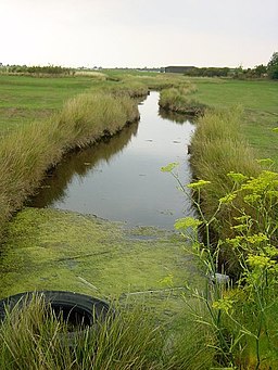
![]() Enjoy a leisurely stroll or ride along the Queenborough Lines canal and the Isle of Sheppey Coast on this circular route in Bartons Point Coastal Park. The route begins on the coast near Sheerness train station and follows the canal path before returning to the start point through Minster Park.
Enjoy a leisurely stroll or ride along the Queenborough Lines canal and the Isle of Sheppey Coast on this circular route in Bartons Point Coastal Park. The route begins on the coast near Sheerness train station and follows the canal path before returning to the start point through Minster Park.
In the park there's a pretty lake with birdlife and nice trails along the beach.
Barton's Point Coastal Park Ordnance Survey Map  - view and print off detailed OS map
Barton's Point Coastal Park Open Street Map  - view and print off detailed map
Barton's Point Coastal Park OS Map  - Mobile GPS OS Map with Location tracking
Barton's Point Coastal Park Open Street Map  - Mobile GPS Map with Location tracking
Further Information and Other Local Ideas
The Sheerness Way runs past the park. This circular shared cycling and walking route is a good way to extend your exercise in the area. Leysdown Coastal Park is also just to the south and worth a visit.


