Rye to Camber Sands Walk
![]()
![]() Enjoy a walk or cycle along National Cycle Network Route 2 from Rye to the beautiful Camber Sands. You can pick up the trail in the centre of Rye near to the train station. It's about a 3 mile ride to the beach, passing alongside Camber Road. There are lovely views of Northpoint Water and Rye Bay before passing Rye Golf Club and entering the village of Camber. It's a beautiful and popular beach with the only sand dune system in East Sussex. If you continue your cycle along the coast road you will come to Broomhill Sands and Lydd.
Enjoy a walk or cycle along National Cycle Network Route 2 from Rye to the beautiful Camber Sands. You can pick up the trail in the centre of Rye near to the train station. It's about a 3 mile ride to the beach, passing alongside Camber Road. There are lovely views of Northpoint Water and Rye Bay before passing Rye Golf Club and entering the village of Camber. It's a beautiful and popular beach with the only sand dune system in East Sussex. If you continue your cycle along the coast road you will come to Broomhill Sands and Lydd.
To extend your outing you could pick up the Saxon Shore Way long distance footpath and walk to the Rye Harbour Nature Reserve just south of Rye. The reserve a variety of habitats such as saltmarsh, lagoons, grazing marsh, shingle and reedbeds. You can also visit the ruins of Henry VIII's Camber Castle. The Device Fort was built to protect the Sussex coast against French attack in the 16th century.
The Sussex Border Path also passes through Rye. You can follow the path north from the town centre and enjoy a waterside walk along the River Rother.
You can also follow the England Coast Path east and visit the wonderful Dungeness RSPB Nature Reserve. The large reserve boasts lakes, lagoons and an expansive section of shingle beach with a wide variety of wildlife.
Camber Sands Ordnance Survey Map  - view and print off detailed OS map
Camber Sands Open Street Map  - view and print off detailed map
Camber Sands OS Map  - Mobile GPS OS Map with Location tracking
Camber Sands Open Street Map  - Mobile GPS Map with Location tracking
Explore the Area with Google Street View 
Pubs/Cafes
Head to The Owl in Camber Sands for some refreshments at the end of the route. The Owl is a traditional English pub with rooms, set behind the iconic dunes of the beach. There's a great menu and a sun-trap of a garden, where you can relax outside on warmer days. You can find it at 11 Old Lydd Rd with a postcode of TN31 7RH for your sat navs.
Dog Walking
The beach is a great place for a dog walk and The Owl mentioned above is also dog friendly.
Further Information and Other Local Ideas
For more walking ideas in the area see the Sussex Walks page.
Cycle Routes and Walking Routes Nearby
Photos
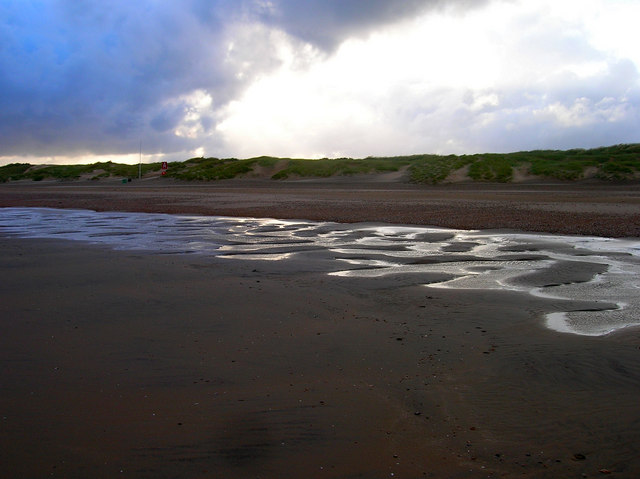
Camber Sands. These dunes are the youngest at Camber having accumulated since the 1960s and pushed the coastline further south.
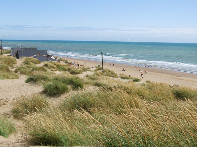
Camber dunes on a sunny summer day. A large section of the western end of the dunes lies within the Camber Sands and Rye Saltings Site of Special Scientific Interest (SSSI), while the rest is designated a Site of Nature Conservation Importance. The dunes are getting larger by accretion.
The beach has been used as a film location on many occassions. For example in the 1958 film Dunkirk starring John Mills it was used to recreate Operation Dynamo. They were used again as Normandy beaches during D-Day in the 1962 epic The Longest Day.
Watersports Lake. The walk passes this large lake just east of Rye. You will often see windsurfers and little sailboats here.
West car park, Camber Sands. Three main car parks co-exist. Western car park on New Lydd road has a large overflow one, all opposite Central car park and its overflow. A third, smaller car park is on Old Lydd road. Central has main access to the beach; one can negotiate quite long, steep sandy paths over dunes from Western car park, unsuitable for prams, or wheelchairs.


