Chiseldon and Marlborough Railway Path
![]()
![]() This is a nice easy cycle or walking route along the now disused Chiseldon and Marlborough Railway.
This is a nice easy cycle or walking route along the now disused Chiseldon and Marlborough Railway.
It starts in Marlborough where you cross the River Kennet and head into the countryside along the path. You will pass through the pretty villages of Ogbourne St Andrew and Ogbourne St George before finishing at Chiseldon. This is a nice easy, traffic free ride so ideal families looking for a safe route. This route is also suitable for walkers looking for a peaceful easy walk.
This route links nicely with the Chiseldon Timberland Trail which runs on from Chiseldon to Swindon.
You could also visit Coate Water Country Park which has nice cycling and walking trails around a large lake.
To continue your cycling around Swindon see our circular Swindon Cycle Route which visits several of the parks in the town.
Chiseldon and Marlborough Railway Path Ordnance Survey Map  - view and print off detailed OS map
Chiseldon and Marlborough Railway Path Open Street Map  - view and print off detailed map
Chiseldon and Marlborough Railway Path OS Map  - Mobile GPS OS Map with Location tracking
Chiseldon and Marlborough Railway Path Open Street Map  - Mobile GPS Map with Location tracking
Further Information and Other Local Ideas
Part of the Sarsen Way passes along the path. The long distance trail runs through Wiltshire from Coate Water Country Park in Swindon to Salisbury Cathedral. It passes many fascinating ancient sites including the hill fort at Barbury Castle and the Alton Barnes White Horse on the nearby Milk Hill.
Cycle Routes and Walking Routes Nearby
Photos
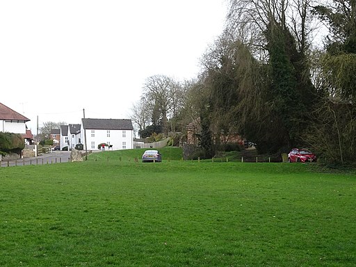
Chiseldon railway station (site). Opened in 1881 by the Swindon Marlborough and Andover Railway, later part of the Midland & South Western Junction Railway, this station closed to passengers in 1961. View south east towards Chiseldon Camp and Marlborough. The two platforms were on a curve and the line continued underneath a road bridge (now filled in) behind the silver car. The site has been landscaped and the ground level appears to have been raised. Almost no trace of the station survives.
Chiseldon Camp railway station (site), Wiltshire Opened in 1930 by the Great Western Railway on the line from Swindon Town to Marlborough, this station closed to passengers in 1961. View north towards Chiseldon and Swindon with the cycle path in shot. The single wooden platform was to the left of the track. It is not clear if the brick rubble seen to the far left was part of the support for the station on nearby wooden huts.
Ogbourne railway station (site). View north west towards Chiseldon Camp and Swindon. The track-bed was roughly where the path now is and the camera position is near the southern end of the two platforms.
North along the M&SWJR trackbed, Ogbourne Maizey. The old Midland and South-Western Junction Railway ran along this route between Andover in the south and Cheltenham in the north under several names. From 1923 on it became part of the Great Western Railway. It did sterling service in two world wars. It closed in 1961 and the trackbed subsequently became part of the National Cycle Network.
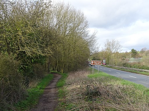
South along the M&SWJR trackbed, near Marlborough. In this image the trackbed is leading towards the northern edge of Marlborough.
Elevation Profile


