Sarsen Way
![]()
![]() This long distance trail runs through Wiltshire from Coate Water Country Park to Salisbury Cathedral, passing a series of fascinating ancient sites on the way.
This long distance trail runs through Wiltshire from Coate Water Country Park to Salisbury Cathedral, passing a series of fascinating ancient sites on the way.
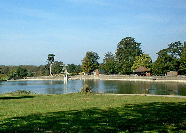
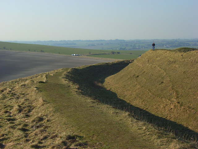
The walk starts off in Coate Water Country Park, on the southern edge of Swindon. Here you can enjoy a walk along the lake before heading south towards Chiseldon where you will pick up the Chiseldon and Marlborough Railway Path. This shared cycling and walking trail runs south along a disused railway before you turn west to follow country trails to the lovely Barbury Castle Country Park. The ancient Iron Age Hillfort is one of the historic highlights on the walk. It is located in a fine spot with views of the North Wessex Downs Area of Outstanding Natural Beauty.
The route continues along The Ridgeway National Trail which will take you to Hackpen Hill where there is a White Horse hill figure with views over the Marlborough Downs.
You continue south towards Overton Hill where you can visit two more ancient sites at the West Kennet Long Barrow and the famous Avebury Stones Circle.
The next stage takes you to the Alton Barnes White Horse on the scenic Milk Hill. Near here you will also cross the noteworthy Wansdyke, a medieval defensive earthwork.
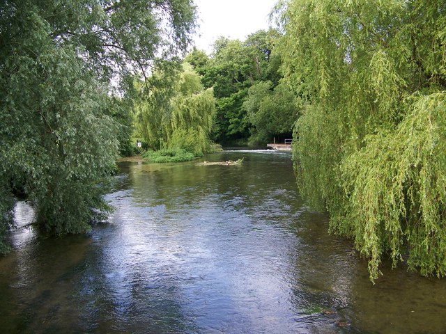
You continue past Manningford Abbots, Upavon, Bulford and Durrington where there are some nice views of the River Avon. At Amesbury you can take a detour west from the route to visit the World famous Stonehenge.
The walk continues south running parallel to the River Avon, passing Great Durnford and Old Sarum Castle on the outskirts of Salisbury. It's another significant location being the earliest settlement of the town.
Shortly after you enter Salisbury, finishing near the wonderful cathedral.
Sarsen Way Ordnance Survey Map  - view and print off detailed OS map
Sarsen Way Open Street Map  - view and print off detailed map
Sarsen Way OS Map  - Mobile GPS OS Map with Location tracking
Sarsen Way Open Street Map  - Mobile GPS Map with Location tracking
Cycle Routes and Walking Routes Nearby
Photos
Coate Water. This is part of the lake (former canal reservoir) known as Coate Water. It and the surrounding walks and parkland are now known as Coate Water Country Park. In the distance, on the opposite side, can be seen the diving board. This is no longer in use, and hasn't been for several decades, because of problems with the lake's water which prevents swimming.
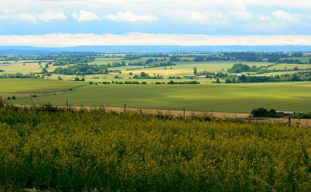
Barbury Castle. This is towards the southwest of the hill-fort which is said to date from the 6th century BC. The land in the middle distance is in the western half of the same grid-square. The Ridgeway runs along the top of the ploughed field.


