GPS Cycle and Walking Routescycle iconwalk icon

Colliers Way

18.6 miles (30 km)

Ordnance Survey Map Open Streetmap This shared cycling and walking path runs from the Dundas Aqueduct to Radstock and Frome.
The route runs along National Cycle Route 24 and some disused railway lines to guide you through some lovely Somerset countryside.
The route runs for just under 19 miles on mostly traffic free, flat paths. As such its a nice safe one for families to try.
On the way there's some lovely country views and a series of pretty villages to admire.
You can extend your exercise by continuing along National Cycle Route 24 to Warminster, Salisbury and Eastleigh in Hampshire.
At the Bath end the trail links up with the Two Tunnels Greenway, a circular rail trail taking you to the old railway tunnels on the edge of the city.

Colliers Way OS Map Ordnance survey map - Mobile GPS OS Map with Location tracking

Colliers Way Open Street Map Open Streetmap - Mobile GPS Map with Location tracking

Cycle Routes and Walking Routes Nearby

Photos

Millennium Milepost on Colliers Way NCN24 at Writhlington (geograph 6957498)

Millennium Milepost on Colliers Way NCN24 at Writhlington (geograph 6957498)

Jericho Bridge - geograph.org.uk - 285613

Jericho Bridge. This bridge used to span the railway line from Radstock to Frome. The track has now been converted to the Colliers Way cycleway.

Dundas Aqueduct - geograph.org.uk - 94012

Dundas Aqueduct

Linear park at Radstock, flower tub commemorating Middle Pit - geograph.org.uk - 3069706

Linear park at Radstock, flower tub commemorating Middle Pit

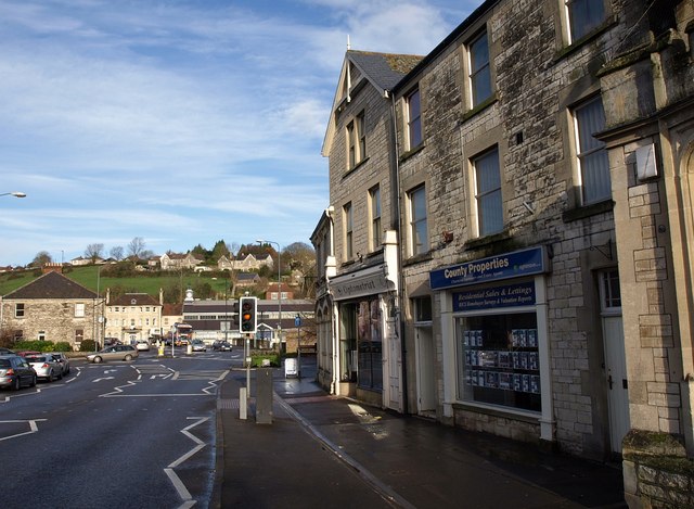
The Street, Radstock - geograph.org.uk - 1598462

The Street, Radstock

The River Frome at Frome - geograph.org.uk - 2516750

The River Frome at Frome

Video

GPS Files

GPX File

Colliers Way.gpx (On Desktop:Right Click>Save As. On Ipad/Iphone:Click and hold>Download Linked File)