Crab and Winkle Way - Whitstable to Canterbury
![]()
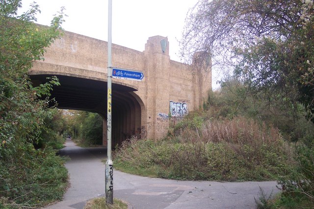
![]() This lovely cycling and walking route runs from Whitstable on the Kent coast to Canterbury along National Cycle Route 1. It is largely flat and traffic free running along a disused railway line for part of the route while also passing through Blean Woods on the way.
This lovely cycling and walking route runs from Whitstable on the Kent coast to Canterbury along National Cycle Route 1. It is largely flat and traffic free running along a disused railway line for part of the route while also passing through Blean Woods on the way.
Highlights on the route include the attractive harbour at Whitstable and the splendid Blean Woods National Nature Reserve which is the largest ancient broadleaved woodland in southern Britain. The magnificent Canterbury Cathedral is also a major attraction on this trail.
Starting on the sea front in Whitstable, the route heads south through Thurston Park and South Tankerton, on the outskirts of the town. A woodland section then follows through Clowes Wood. The woods are also designated as nature reserve and include attractive mixed woodland, heathland and wet meadow. Look out for wildlife which includes woodpeckers, Woodcock and if you're lucky an owl.
After leaving the woods the route heads through the countryside to the outskirts of Canterbury, where you will pass the buildings of the University of Kent. The final sections takes you into Canterbury, finishing near Canterbury West Station.
This route is also easily accessible with train stations at Whitstable and Canterbury.
To continue your cycling in the Canterbury area you could pick up the Pilgrims Way and follow it through the North Downs to Rochester.
Please click here for more information
Crab and Winkle Way Ordnance Survey Map  - view and print off detailed OS map
Crab and Winkle Way Open Street Map  - view and print off detailed map
*New* - Walks and Cycle Routes Near Me Map - Waymarked Routes and Mountain Bike Trails>>
Crab and Winkle Way OS Map  - Mobile GPS OS Map with Location tracking
Crab and Winkle Way Open Street Map  - Mobile GPS Map with Location tracking
Further Information and Other Local Ideas
Just east of Canterbury you can visit the Stodmarsh National Nature Reserve which boasts the largest reedbeeds in the South East of England. This area also includes the lovely Grove Ferry Walk which starts at the eastern end of the reserve. There's a car park, picnic area, boat trips and a fine riverside pub here. At the western end of the reserve you'll also find the Westbere Marshes and the noteworthy town of Fordwich. Fordwich is notable as Britain's smallest town and also has a great pub with a dining terrace overlooking the Stour.
Cycle Routes and Walking Routes Nearby
Elevation Profile


