Grove Ferry Walk
![]()
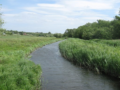
![]() This delightful area next to the River Stour is a lovely place to begin walk. There's a car park, picnic area and a popular pub for post walk refreshments here.
This delightful area next to the River Stour is a lovely place to begin walk. There's a car park, picnic area and a popular pub for post walk refreshments here.
This route from the site uses sections of the Wantsum Walk and the Stour Valley Walk to create a figure of eight loop walk through the surrounding countryside.
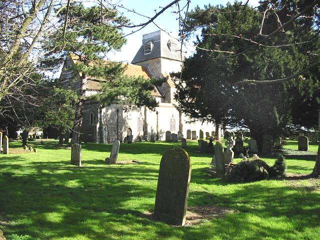
On the way you'll explore the lovely Stodmarsh National Nature Reserve and visit the pretty village of Chislet.
The route starts off at the Grove Ferry Picnic Site where there is a car park. The route then follows the Wantsum Walk to Upstreet and Chislet on the northern side of the river.
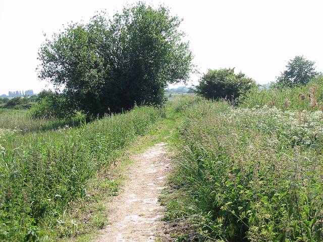
After returning to Grove Ferry you then explore the Stodmarsh Nature Reserve where there are nice trails along the River Stour and an abundance of wildlife to look out for.
Postcode
CT3 4BP - Please note: Postcode may be approximate for some rural locationsGrove Ferry Ordnance Survey Map  - view and print off detailed OS map
Grove Ferry Open Street Map  - view and print off detailed map
Grove Ferry OS Map  - Mobile GPS OS Map with Location tracking
Grove Ferry Open Street Map  - Mobile GPS Map with Location tracking
Pubs/Cafes
After your exercise you can enjoy rest and refreshment at the Grove Ferry Inn. The main draw here is a beautiful garden where you can enjoy river views with your meal. There is something of a historical interest too, with the building dating back to the Georgian period. They are located near the picnic site at postcode CT3 4BP for your sat navs.
Dog Walking
Dogs are welcome at the picnic site and there are waste bins available too.
Further Information and Other Local Ideas
In the warmer months you can enjoy boat trips along the Stour from Grove Ferry River Trips. The captain will also give you some history and interesting anecdotes about the area.
At the western end of the reserve you'll also find the Westbere Marshes and the noteworthy town of Fordwich. Fordwich is notable as Britain's smallest town and also has a great pub with a dining terrace overlooking the Stour.
The Wickhambreaux Walk starts from the nearby village and visits Grove Ferry. It will additionally take you through the Newnham Valley which lies just to the east. Here you can enjoy a walk along the Little Stour, a tributary of the Great Stour. The village is also well worth exploring with its 13th-century parish church, clapboard mill with working water wheel and a medieval village green.
Cycle Routes and Walking Routes Nearby
Photos
Reeds, Stodmarsh Nature Reserve. The Nature Reserve covers 241 hectares of wetland and is characterised by extensive reedbeds, lakes and associated bird populations. It is a Special Protection Area and also a Wetland of International Importance under the Ramsar Convention. The reserve is managed by English Nature as a National Nature Reserve.


