Foyle Valley Greenway Cycle Route
![]() This scenic cycle ride takes you from Londonderry to Strabane, through the beautiful valley of the River Foyle.
This scenic cycle ride takes you from Londonderry to Strabane, through the beautiful valley of the River Foyle.
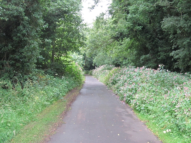
The route runs for just over 20 miles, passing along quiet country lanes with some traffic free sections as well.
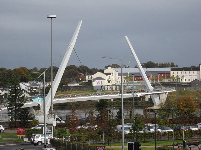
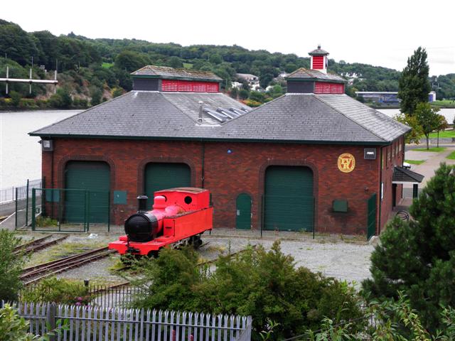
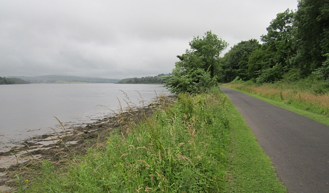
The route starts in Londonderry near the Peace Bridge on the western side of the River Foyle. You then head south along a pleasant riverside path to the County Donegal border. This traffic free section is also known as the Foyle Valley Greenway and runs along the old Londonderry and Enniskillen Railway. You'll also pass the interesting Foyle Valley Railway Museum in this area.
You then leave the river heading west to Carrigans and then on to Saint Johnston. From here you head south through the countryside to Ballindrait where you cross the Deele River.
The final section takes you east to Lifford where you cross the Foyle and finish at Strabane.
Foyle Valley Open Street Map  - view and print off detailed map
Foyle Valley Open Street Map  - Mobile GPS Map with Location tracking
Further Information and Other Local Ideas
Head east along the coast you can pick up the Causeway Coast cycle route. The popular route runs for about 23 miles from the Giant's Causeway to the village of Castle Rock in Londonderry.
In Londonderry you can also try the popular Derry Walls Walk which takes you along the top of the historic ramparts.
To the south east of Derry the expansive Davagh Forest where you'll find miles of footpaths and a red graded mountain bike trail. The forest sits within the Sperrin Mountains AONB where you'll find numerous challenging walking trails. Near here there's also Gortin Glen where you'll find another red graded mountain bike trail and a series of waymarked footpaths. The circular trail around Loughmacrory Lough can also be found in this area.
