Hebridean Way Cycle Route
![]()
![]() This epic cycle route explores 10 of the islands of the Outer Hebrides, off the west coast of Scotland.
This epic cycle route explores 10 of the islands of the Outer Hebrides, off the west coast of Scotland.
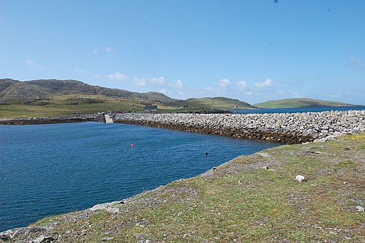
The route runs for 184 miles with ferry crossings taking you between the islands.
It's a remote area so ideal if you're looking for a peaceful ride with little traffic.
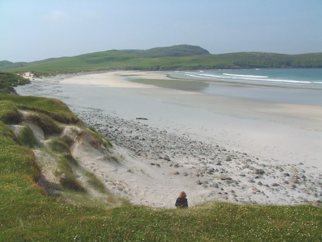
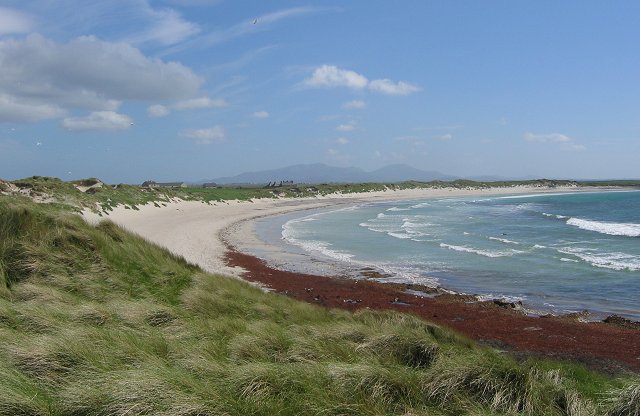
The islands include some stunning scenery with beautiful beaches and lots of interesting wildlife to see.
The route starts at Vatersay at the southern end of the islands. You then head north to finish at the Butt of Lewis on the island of Lewis.
See below for maps and a complete gpx file for the route. A walking route with the same name runs parallel with the cycle route. You can see it marked on the Ordnance Survey map below.
Please click here for more information
Hebridean Way Ordnance Survey Map  - view and print off detailed OS map
Hebridean Way Open Street Map  - view and print off detailed map
Hebridean Way OS Map  - Mobile GPS OS Map with Location tracking
Hebridean Way Open Street Map  - Mobile GPS Map with Location tracking
Photos
Halaman Bay and the Isle of Barra Hotel. This is one of Barra's fabulous west coast beaches. Halaman Bay also has by it the modern Isle of Barra Hotel with its superlative setting.


