King's Forest
![]()
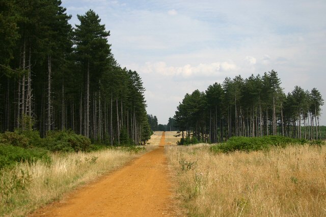
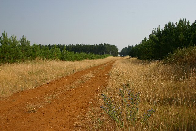
![]() This large area of woodland near has miles of cycling and walking trails to enjoy. You can park at West Stow Country Park and pick up the Icknield Way Path which runs through the woods along the Westtow Road track. The woods are great for wildlife with Fallow, Red, Roe and Muntjac deer to look out for. You may also see foxes and badgers. Birdwatchers may see Owl, Warblers, Finches, Goldcrests, Great Spotted and Green Woodpecker, Treecreeper, Nuthatch and Buzzards.
This large area of woodland near has miles of cycling and walking trails to enjoy. You can park at West Stow Country Park and pick up the Icknield Way Path which runs through the woods along the Westtow Road track. The woods are great for wildlife with Fallow, Red, Roe and Muntjac deer to look out for. You may also see foxes and badgers. Birdwatchers may see Owl, Warblers, Finches, Goldcrests, Great Spotted and Green Woodpecker, Treecreeper, Nuthatch and Buzzards.
To extend your walking in the are you can further explore West Stow Country Park. It's right next to the woods and includes waterside trails through the Lackford Lakes Nature Reserve and along the River Lark. Also nearby is the pretty Cavenham Heath Nature Reserve. The reserve has nice trails through heathland with more wildlife to look out for.
The long distance Lark Valley Path also runs through the area so you could pick this up and enjoy a riverside walk through Suffolk.
Postcode
IP28 6HG - Please note: Postcode may be approximate for some rural locationsKing's Forest Ordnance Survey Map  - view and print off detailed OS map
King's Forest Open Street Map  - view and print off detailed map
King's Forest OS Map  - Mobile GPS OS Map with Location tracking
King's Forest Open Street Map  - Mobile GPS Map with Location tracking
Further Information and Other Local Ideas
The forest is located near the pretty village of Tuddenham. In the village you can visit the historic Tuddenham Mill - an ancient watermill surrounded by 12 acres of gardens and Suffolk countryside. There is a high quality restaurant at the mill where you can sit outside by the river in a very picturesque location.


