St Edmund Way
![]()
![]() A walk through Essex, Suffolk and Norfolk from Manningtree to Brandon.
A walk through Essex, Suffolk and Norfolk from Manningtree to Brandon.
The walk begins in Essex at Manningtree rail station and heads through Dedham, Sudbury, Bury St Edmunds and Thetford before finishing at Brandon.
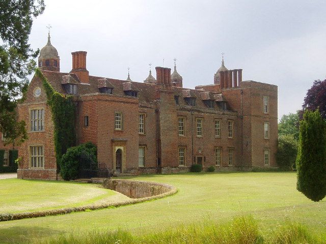
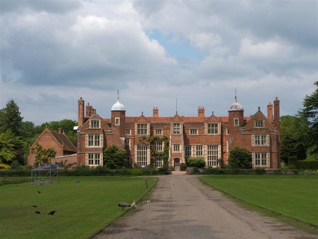
You begin with a pleasant waterside stretch from Manningtree to Sudbury along the River Stour, passing Dedham on the way. Also of note is the 16th century Willy Lott's Cottage - scene of the famous Hay Wain painting by John Constable.The path continues to Bury St Edmunds passing the National Trust owned Melford Hall stately home, Kentwell Hall and the village of Lavenham as you go.
The next stage runs from Bury St Edmunds to Thetford, following the River Lark before a wooded section through King's Forest. A wildlife rich section through the lovely West Stow Country Park and Lackford Lakes Nature Reserve follows soon after.
At Thetford you will pass the ruined priory and join the Little Ouse River, which you follow through Thetford Forest to the finish point at Brandon.
St Edmund Way Ordnance Survey Map  - view and print off detailed OS map
St Edmund Way Open Street Map  - view and print off detailed map
St Edmund Way OS Map  - Mobile GPS OS Map with Location tracking
St Edmund Way Open Street Map  - Mobile GPS Map with Location tracking
Pubs/Cafes
At Bures you could stop off at The Thatcher's Arms. The 19th century pub includes a cosy interior with wood burning stoves and oak beams. Outside there's a lovely garden are with splendid views over the valley. You can find them on Hall Road at postcode CO8 5AT for your sat navs.
The village occupies an interesting spot, straddling the border between Suffolk and Essex. There's also a historic medieval church and a 12th century Motte and Bailey Castle which are well worth a visit.
Cycle Routes and Walking Routes Nearby
Photos
St Edmund Way. With Marmansgrave Wood to the left and Thetford Heath to the right. Thetford Heath is Open Access Land between November and March.
Lower Stour valley west of Manningtree. The river itself is to be found somewhere amongst all the vegetation. Taken from the St Edmund Way footpath.
Elevation Profile


