Montgomery Canal
![]()
![]() Enjoy easy waterside cycling and walking along the Montgomery Canal through Powys and Shropshire. The whole of the route can be walked while cyclists can enjoy the section from Newtown to Welshpool along National Cycle Network route 81. It's a great ride and suitable for families and people of all abilities.
Enjoy easy waterside cycling and walking along the Montgomery Canal through Powys and Shropshire. The whole of the route can be walked while cyclists can enjoy the section from Newtown to Welshpool along National Cycle Network route 81. It's a great ride and suitable for families and people of all abilities.
Starting in Newtown you follow the River Severn towards Llanllwchaiarn and the start of the canal. You then follow the towpath north passing the Pwll Penarth Nature Reserve and a series of pretty villages including Abermule and Berriew where the canal is carried over the River Rhiw aqueduct. The route continues to Welshpool passing Powis Castle and the Llyn Coed y Dinas Nature Reserve. It's a super section of the canal with wildlife such as otters and water voles to look out for.
From Welshpool you continue north to Arddleen and Four Crosses where you cross the Vyrnwy Aqueduct. It's a highlight of the route with splendid views of the River Vyrnwy to enjoy.
The route continues through Pant and Maesbury Marsh before finishing at Frankton Locks in Shropshire. Here you can pick up the Llangollen Canal and enjoy more waterside walking.
Montgomery Canal Ordnance Survey Map  - view and print off detailed OS map
Montgomery Canal Open Street Map  - view and print off detailed map
Montgomery Canal OS Map  - Mobile GPS OS Map with Location tracking
Montgomery Canal Open Street Map  - Mobile GPS Map with Location tracking
Pubs/Cafes
In Berriew head to the Lion Hotel for a pit stop on the walk. Built 400 years ago in the 17th century, the fine establishment was originally a coaching inn and pub for builders working on the local church, St Beuno’s. Sitting alongside the idyllic setting of the church and the River Rhiew, the old black & white, timbered front building reflects the agricultural past of the village tucked between Newtown and Welshpool. Inside the hotel there's the work of artist Andrew Logan, including mirrored portraits, watercolours, and mirrored walls. It's a special place and well worth investigating if you have time. You can find the pub at a postcode of SY21 8PQ.
Cycle Routes and Walking Routes Nearby
Photos
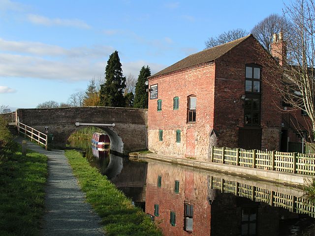
Canal Bridge on Montgomery Canal. At present, the canal is navigable for seven miles from Frankton to Gronwyn Bridge; however, the number of boats is restricted by agreement between the British Waterways Board and Natural England, a significant part of the canal being a Site of Special Scientific Interest in England and a Special Area of Conservation in Wales for its aquatic insect and plant life. To manage this, Frankton Locks are currently only open between 1200 and 1400 each day, with pre-booking necessary. Boaters may spend a minimum of 24 hours and a maximum of 14 days on the canal.
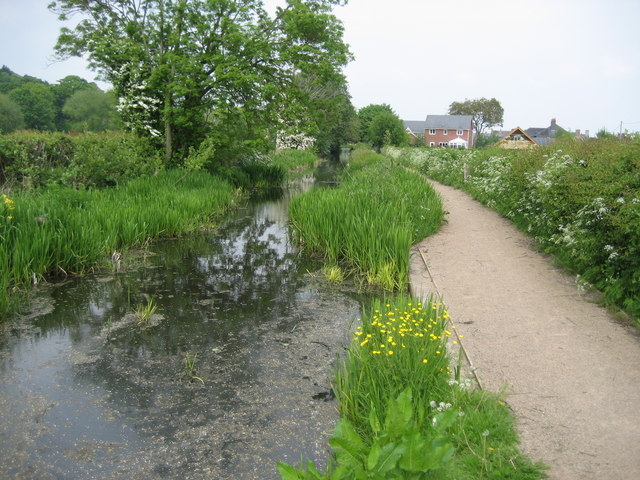
Canal approaching Llanymynech. Approaching Llanymynech along the canal towpath from the west, which at this point has been adopted by the Offa's Dyke Path.
Frankton Top Lock. The Canal (technically the Montgomery branch of the Shropshire Union) starts at Frankton Junction and almost immediately descends through four locks, the top two of which are joined as a staircase. The canal, which was finally completed in 1819, did not serve Montgomery itself but ran to the Montgomeryshire towns of Welshpool and Newtown. Like most rural canals it was never a prosperous concern and traffic declined steeply after the First World War. It was eventually abandoned in 1936 following a serious breach which the company decided it was not worthwhile to repair; official closure came in 1944 by Act of Parliament. After that the canal deteriorated and had it not been for the determination of the Shropshire Union Canal Society it would have disappeared completely; nevertheless, from 1969 onwards a slow process of restoration has taken place which is at last nearing completion.


