National Cycle Route 15
![]()
![]() This signed Sustrans route is currently open in sections around Leicestershire and Lincolnshire.
This signed Sustrans route is currently open in sections around Leicestershire and Lincolnshire.
As of time of writing it is not yet complete but will eventually run from Belton to Coningsby, linking National Cycle Route 1 and National Cycle Route 6.
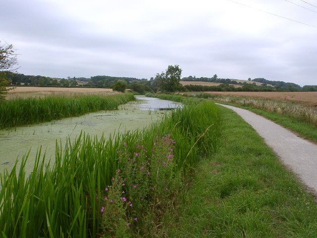
The route shown below follows a lovely section of the trail from Grantham to West Bridgford via Muston, Bottesford and Bingham. The first part to Muston is almost all traffic free following the towpath of the Grantham Canal for most of the way.
Towards the end of the route there's more waterside cycling along the lakes and the River Trent in Holme Pierrepont Country Park and Colwick Country Park in West Bridgford.
Other currently open sections include Belton to Diseworth.
Cycle Routes on National Cycle Route 15
- Grantham to Bottesford - This route follows NCN route 15 along the Grantham Canal
- Melton Mowbray to Grantham - This route follows National Cycle Route 64 and Cycle Route 15 from Leicestershire into Lincolnshire
- Melton Mowbray to Newark-On-Trent - Follow National Cycle Route 64 and Cycle Route 15 from Leicestershire into Nottinghamshire
National Cycle Route 15 Ordnance Survey Map  - view and print off detailed OS map
National Cycle Route 15 Open Street Map  - view and print off detailed map
National Cycle Route 15 OS Map  - Mobile GPS OS Map with Location tracking
National Cycle Route 15 Open Street Map  - Mobile GPS Map with Location tracking
Cycle Routes and Walking Routes Nearby
Photos
Finger ponds. This is the name given to the area of former gravel workings at the eastern end of Holme Pierrepont Country Park. It derives from the way that this area was worked leaving long narrow strips of water divided by narrow banks. The formation of the ponds shows up better on the 1:25000 maps than the 1:50000


