Newcastle To Tynemouth Walk and Cycle Route
![]()
![]() This easy walk or cycle takes you from Newcastle to Tynemouth along the River Tyne.
This easy walk or cycle takes you from Newcastle to Tynemouth along the River Tyne.
It's a pleasant surfaced path with great views of the city, historic buildings, boats at the quayside, sculptures and a series of impressive bridges to see on the way.
The multi user route runs for just over 11 miles, first following the final section of the Hadrian's Wall Path before picking up the River Tyne Trail and a largely traffic free section of the National Cycle Network to take you to Tynemouth on the coast.
The route starts in Newcastle on the river, next to Newcastle Upon Tyne Central railway station. From here you can pick up the Hadrian's Wall Path and follow the waymarked trail east along the river to Wallsend. Here you can pick up Hadrians Cycleway to North Shields and then National Cycle Route 1 into Tynemouth. This last section takes you along the River Tyne Entrance before finishing near the pier and Tynemouth Castle.
Newcastle To Tynemouth Ordnance Survey Map  - view and print off detailed OS map
Newcastle To Tynemouth Open Street Map  - view and print off detailed map
Newcastle To Tynemouth OS Map  - Mobile GPS OS Map with Location tracking
Newcastle To Tynemouth Open Street Map  - Mobile GPS Map with Location tracking
Cycle Routes and Walking Routes Nearby
Photos
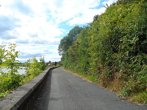
Hadrian's Way below Dunston Coal Staithes. Hadrian's Way below Dunston Coal Staithes The footway along the north bank of the River Tyne carries Hadrian's Way, the local name for the traffic-free route along the Tyne through Newcastle. The Way is followed by both Hadrian's Wall National Trail


